File:Mayotte topographic blank map.svg
Jump to navigation
Jump to search

Size of this PNG preview of this SVG file: 477 × 599 pixels. Other resolutions: 191 × 240 pixels | 382 × 480 pixels | 612 × 768 pixels | 815 × 1,024 pixels | 1,631 × 2,048 pixels | 1,033 × 1,297 pixels.
Original file (SVG file, nominally 1,033 × 1,297 pixels, file size: 751 KB)
File history
Click on a date/time to view the file as it appeared at that time.
| Date/Time | Thumbnail | Dimensions | User | Comment | |
|---|---|---|---|---|---|
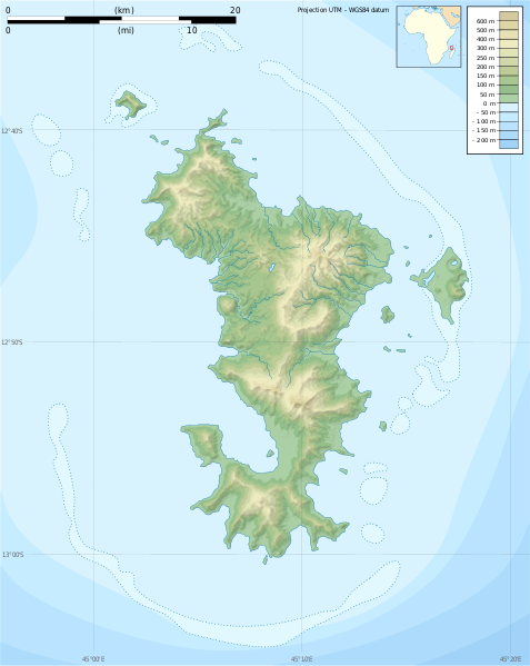
| current | 21:04, 24 March 2009 | | 1,033 × 1,297 (751 KB) | commons>Korrigan | {{Information |Description={{en|Topographic blank map of Mayotte. Use the PNG version in articles for faster loading.}} {{fr|Carte topographique vierge de Mayotte. Utiliser [[:File:Mayotte_topographic_blank_ |
File usage
There are no pages that use this file.