File:Mauke map.jpg
Jump to navigation
Jump to search

Size of this preview: 800 × 582 pixels. Other resolutions: 320 × 233 pixels | 640 × 466 pixels | 1,024 × 745 pixels | 1,240 × 902 pixels.
Original file (1,240 × 902 pixels, file size: 130 KB, MIME type: image/jpeg)
File history
Click on a date/time to view the file as it appeared at that time.
| Date/Time | Thumbnail | Dimensions | User | Comment | |
|---|---|---|---|---|---|
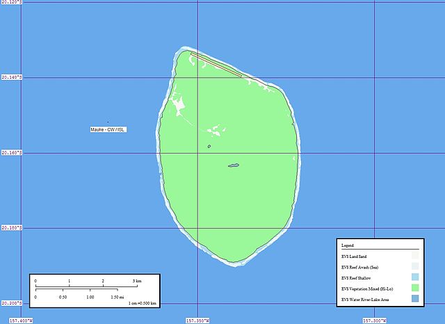
| current | 14:20, 16 August 2007 | | 1,240 × 902 (130 KB) | commons>Henry Merrivale | {{Information |Description= Map of Mauke (Cook Islands) |Source=[http://www.flickr.com/photos/60042877@N00/126141302/ Mauke Atoll - Map] |Date=April 09, 2006 at 20:34 |Author=[http://www.flickr.com/people/60042877@N00 Mr Minton] from San Diego, US |Permis |
File usage
There are no pages that use this file.