File:Marion County Kansas Incorporated and Unincorporated areas Lost Springs Highlighted.svg
Jump to navigation
Jump to search

Size of this PNG preview of this SVG file: 800 × 421 pixels. Other resolutions: 320 × 168 pixels | 640 × 337 pixels | 1,024 × 539 pixels | 1,280 × 674 pixels | 2,560 × 1,347 pixels | 950 × 500 pixels.
Original file (SVG file, nominally 950 × 500 pixels, file size: 103 KB)
File history
Click on a date/time to view the file as it appeared at that time.
| Date/Time | Thumbnail | Dimensions | User | Comment | |
|---|---|---|---|---|---|
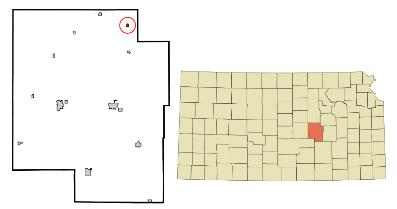
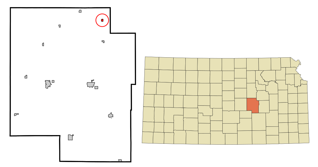
| current | 19:04, 15 October 2007 | | 950 × 500 (103 KB) | commons>ArkyBot~commonswiki | {{Information |Description=This map shows the incorporated and unincorporated areas in Marion County, Kansas, highlighting Lost Springs in red. It was creat |
File usage
There are no pages that use this file.