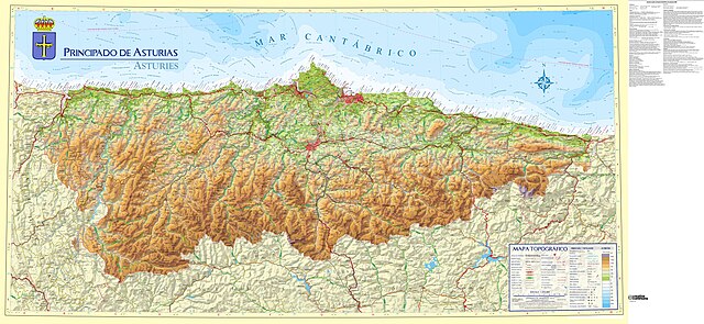
File:Mapa resumen Asturias en torno a 2010 escala 1-200.000.jpg
Jump to navigation
Jump to search

Size of this preview: 800 × 368 pixels. Other resolutions: 320 × 147 pixels | 640 × 295 pixels | 1,024 × 471 pixels | 1,280 × 589 pixels | 2,560 × 1,179 pixels | 14,554 × 6,701 pixels.
Original file (14,554 × 6,701 pixels, file size: 42.7 MB, MIME type: image/jpeg)
File history
Click on a date/time to view the file as it appeared at that time.
| Date/Time | Thumbnail | Dimensions | User | Comment | |
|---|---|---|---|---|---|
| current | 20:57, 28 December 2023 | | 14,554 × 6,701 (42.7 MB) | commons>MGeog2022 | Uploaded a work by *Original image (CC-BY 4.0): {{Attribution-SITPA-IDEAS}} *Derivative by: {{u|MGeog2022}}. from {{derived from|Mapa Topografico Principado de Asturias escala 1-200.000 - año 2010.jpg}} with UploadWizard |
File usage
There are no pages that use this file.