File:MapaSageo-Guayas-02.png
Jump to navigation
Jump to search
Size of this preview: 433 × 599 pixels. Other resolutions: 173 × 240 pixels | 347 × 480 pixels | 702 × 971 pixels.
Original file (702 × 971 pixels, file size: 55 KB, MIME type: image/png)
File history
Click on a date/time to view the file as it appeared at that time.
| Date/Time | Thumbnail | Dimensions | User | Comment | |
|---|---|---|---|---|---|
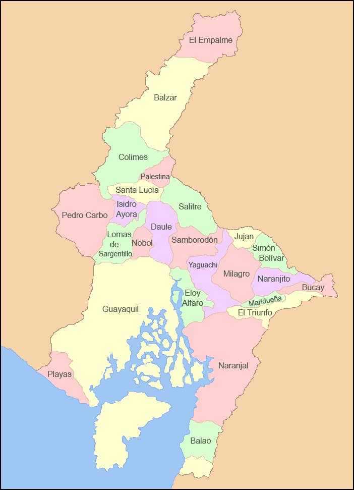
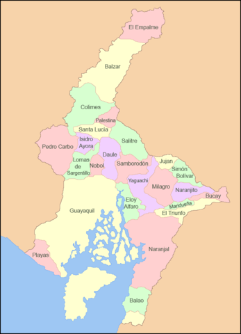
| current | 05:22, 5 March 2009 | | 702 × 971 (55 KB) | commons>Sageo | {{Information |Description={{es|1=Mapa de los cantones de la Provincia del Guayas}} |Source=trabajo propio (own work) |Author=Sageo |Date=5 de marzo de 2009 |Permission= |other_versions= }} <!--{{ImageUpload|full}}--> Category:Guayas |
File usage
There are no pages that use this file.