File:Mapa-rodovia-anchieta.jpg
Jump to navigation
Jump to search
No higher resolution available.
Mapa-rodovia-anchieta.jpg (800 × 540 pixels, file size: 105 KB, MIME type: image/jpeg)
File history
Click on a date/time to view the file as it appeared at that time.
| Date/Time | Thumbnail | Dimensions | User | Comment | |
|---|---|---|---|---|---|
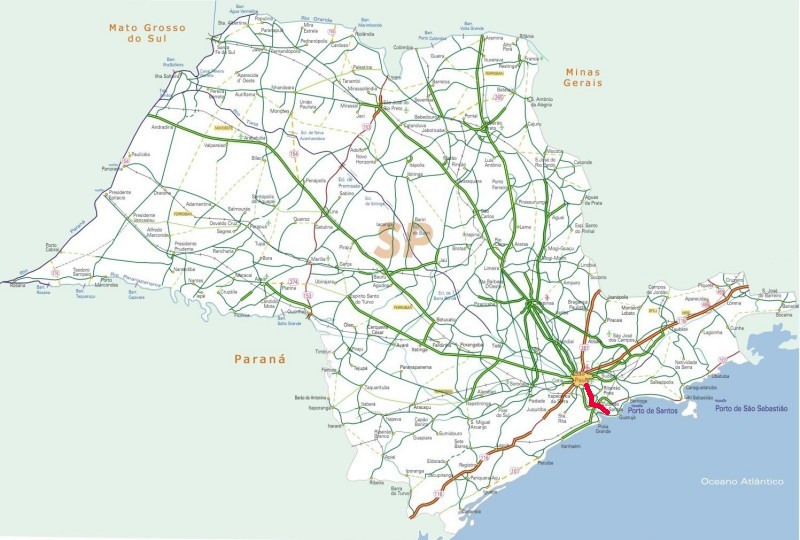
| current | 00:23, 28 November 2008 | | 800 × 540 (105 KB) | commons>Hector.carvalho | {{Information |Description=Map of Rodovia Anchieta, a highway in the state of São Paulo, Brazil, drawn on a public domain map by the Ministry of Transportation, Brazil. |Source=originally uploaded to :en at en:Image:Mapa-rodovia-anchieta.jpg |Date= |
File usage
There are no pages that use this file.