File:Map of the Viceroyalty of Peru.svg
Jump to navigation
Jump to search

Size of this PNG preview of this SVG file: 800 × 407 pixels. Other resolutions: 320 × 163 pixels | 640 × 325 pixels | 1,024 × 520 pixels | 1,280 × 650 pixels | 2,560 × 1,301 pixels | 3,121 × 1,586 pixels.
Original file (SVG file, nominally 3,121 × 1,586 pixels, file size: 1.67 MB)
Summary
| Description |
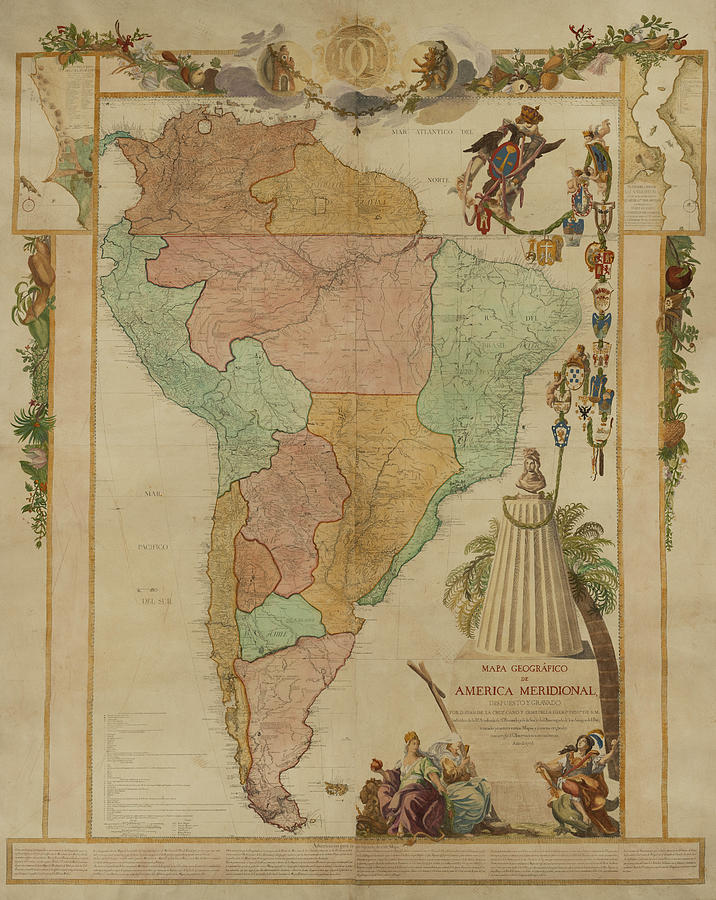
Español: Mapa de ubicación del Virreinato del Perú (territorio inicial (1542) y final (1810) de iure) English: Locator map of the Viceroyalty of Peru (initial (1542) and final (1810) de jure territory). |
| Date | (UTC) |
| Source |
|
| Author | Shadowxfox |
.jpg)
Licensing
This file is licensed under the Creative Commons Attribution-Share Alike 3.0 Unported license.
- You are free:
- to share – to copy, distribute and transmit the work
- to remix – to adapt the work
- Under the following conditions:
- attribution – You must give appropriate credit, provide a link to the license, and indicate if changes were made. You may do so in any reasonable manner, but not in any way that suggests the licensor endorses you or your use.
- share alike – If you remix, transform, or build upon the material, you must distribute your contributions under the same or compatible license as the original.
File history
Click on a date/time to view the file as it appeared at that time.
| Date/Time | Thumbnail | Dimensions | User | Comment | |
|---|---|---|---|---|---|
| current | 16:47, 22 January 2024 | | 3,121 × 1,586 (1.67 MB) | commons>Janitoalevic | Reverted to version as of 16:41, 18 January 2024 (UTC) En el mapa se muestran territorios de iure, la Amazonía por ejemplo, no se ocupó de facto, mismo caso con la Patagonia. |
File usage
There are no pages that use this file.