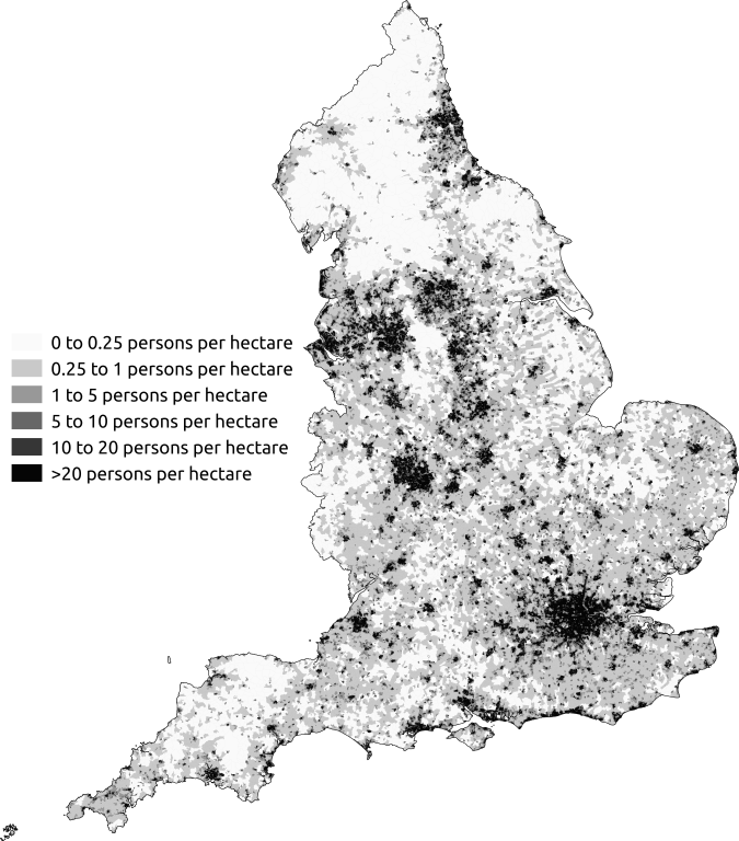
File:Map of population density in England as at the 2011 census.png
Jump to navigation
Jump to search

Size of this preview: 527 × 600 pixels. Other resolutions: 211 × 240 pixels | 422 × 480 pixels | 675 × 768 pixels | 900 × 1,024 pixels | 1,800 × 2,048 pixels | 15,320 × 17,435 pixels.
Original file (15,320 × 17,435 pixels, file size: 34.33 MB, MIME type: image/png)
File history
Click on a date/time to view the file as it appeared at that time.
| Date/Time | Thumbnail | Dimensions | User | Comment | |
|---|---|---|---|---|---|
| current | 18:19, 1 May 2014 | | 15,320 × 17,435 (34.33 MB) | commons>SkateTier | {{subst:Upload marker added by en.wp UW}} {{Information |Description = {{en|Map of population density in England as at the 2011 census.}} |Source = {{own}} |Date = 2014-05-01 |Author = SkateTier }} |
File usage
There are no pages that use this file.