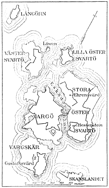
File:Map of Sveaborg at the 1790s.png
Jump to navigation
Jump to search
Size of this preview: 348 × 599 pixels. Other resolutions: 139 × 240 pixels | 374 × 644 pixels.
Original file (374 × 644 pixels, file size: 27 KB, MIME type: image/png)
File history
Click on a date/time to view the file as it appeared at that time.
| Date/Time | Thumbnail | Dimensions | User | Comment | |
|---|---|---|---|---|---|
| current | 20:25, 1 August 2005 | | 374 × 644 (27 KB) | commons>Tomisti | Map of Sveaborg at the 1790s. From English Wikipedia: en:Image:Map of Sveaborg at the 1790s.png <br> Original source: Nordisk familjebok {{PD}} |
File usage
There are no pages that use this file.