File:Map of Pacific Category 4 hurricanes.png
Jump to navigation
Jump to search
Size of this preview: 800 × 494 pixels. Other resolutions: 320 × 198 pixels | 640 × 396 pixels | 1,024 × 633 pixels | 1,280 × 791 pixels | 3,000 × 1,854 pixels.
Original file (3,000 × 1,854 pixels, file size: 2.92 MB, MIME type: image/png)
File history
Click on a date/time to view the file as it appeared at that time.
| Date/Time | Thumbnail | Dimensions | User | Comment | |
|---|---|---|---|---|---|
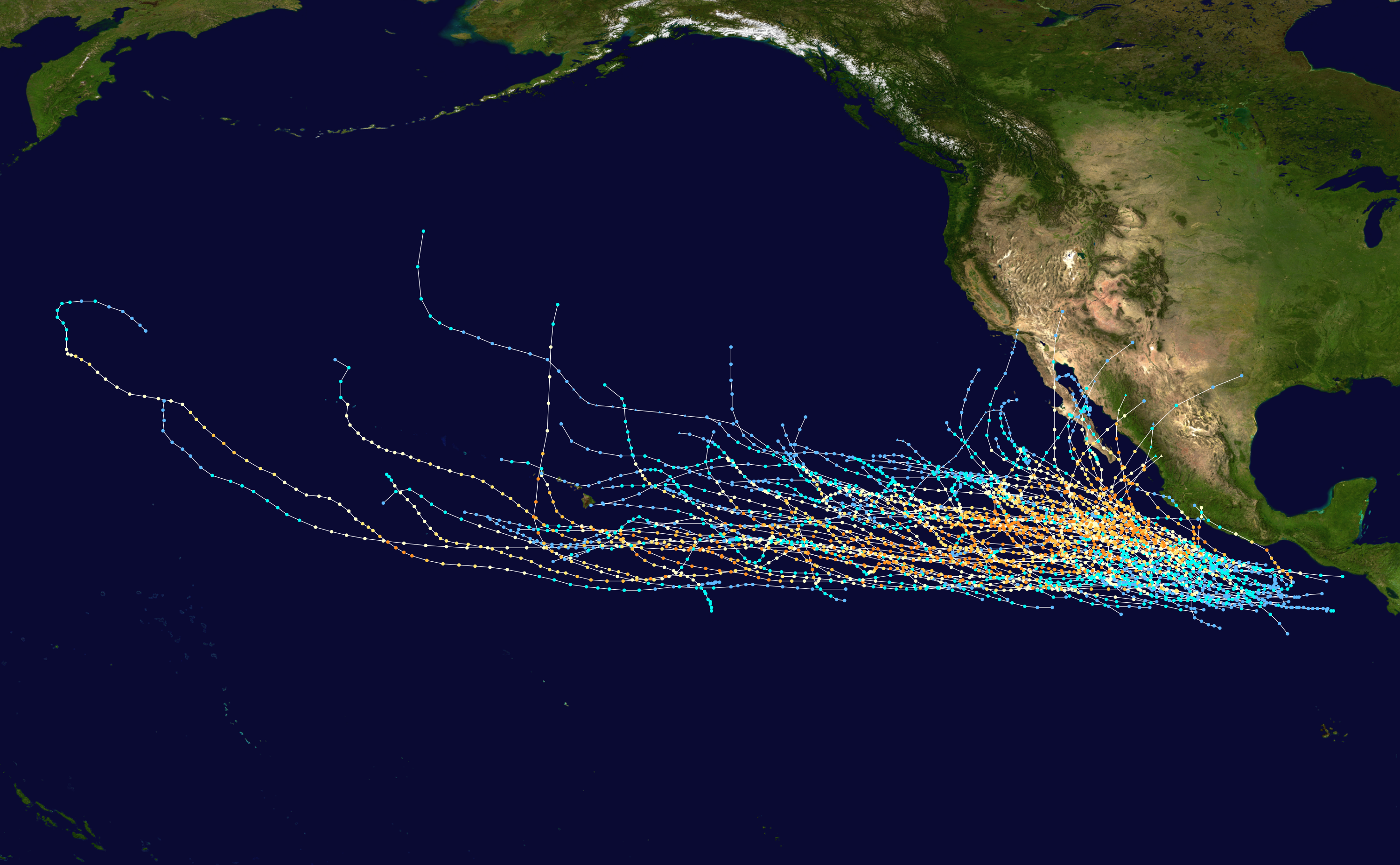
| current | 21:07, 27 November 2011 | | 3,000 × 1,854 (2.92 MB) | commons>Cyclonebiskit | == {{int:filedesc}} == {{Information |Description={{en|Track map of all Category 4 hurricanes in the Eastern Pacific Basin. The points show the location of the storm at 6-hour intervals. |
File usage
There are no pages that use this file.