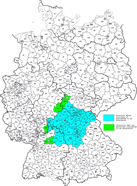
File:Map of Franconia.PNG
Jump to navigation
Jump to search

Size of this preview: 439 × 599 pixels. Other resolutions: 176 × 240 pixels | 352 × 480 pixels | 563 × 768 pixels | 750 × 1,024 pixels | 1,351 × 1,844 pixels.
Original file (1,351 × 1,844 pixels, file size: 500 KB, MIME type: image/png)
File history
Click on a date/time to view the file as it appeared at that time.
| Date/Time | Thumbnail | Dimensions | User | Comment | |
|---|---|---|---|---|---|
| current | 09:05, 28 May 2012 | | 1,351 × 1,844 (500 KB) | commons>Quahadi | == {{int:filedesc}} == {{Information |Description={{hr|Okruzi suvremene Frankonije}} {{en|Districts of modern Franconia}} |Source={{Derived from|Kfz-Kennzeichen_Deutschlands.png|Franconia_details.png|display=50}} |Date=2012-05-06 07:56 (UTC) |Author=*[... |
File usage
There are no pages that use this file.