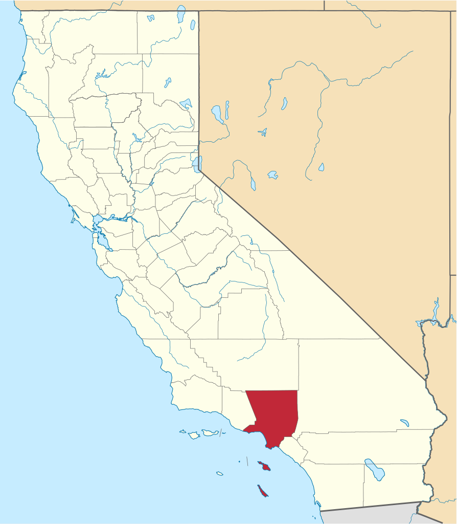
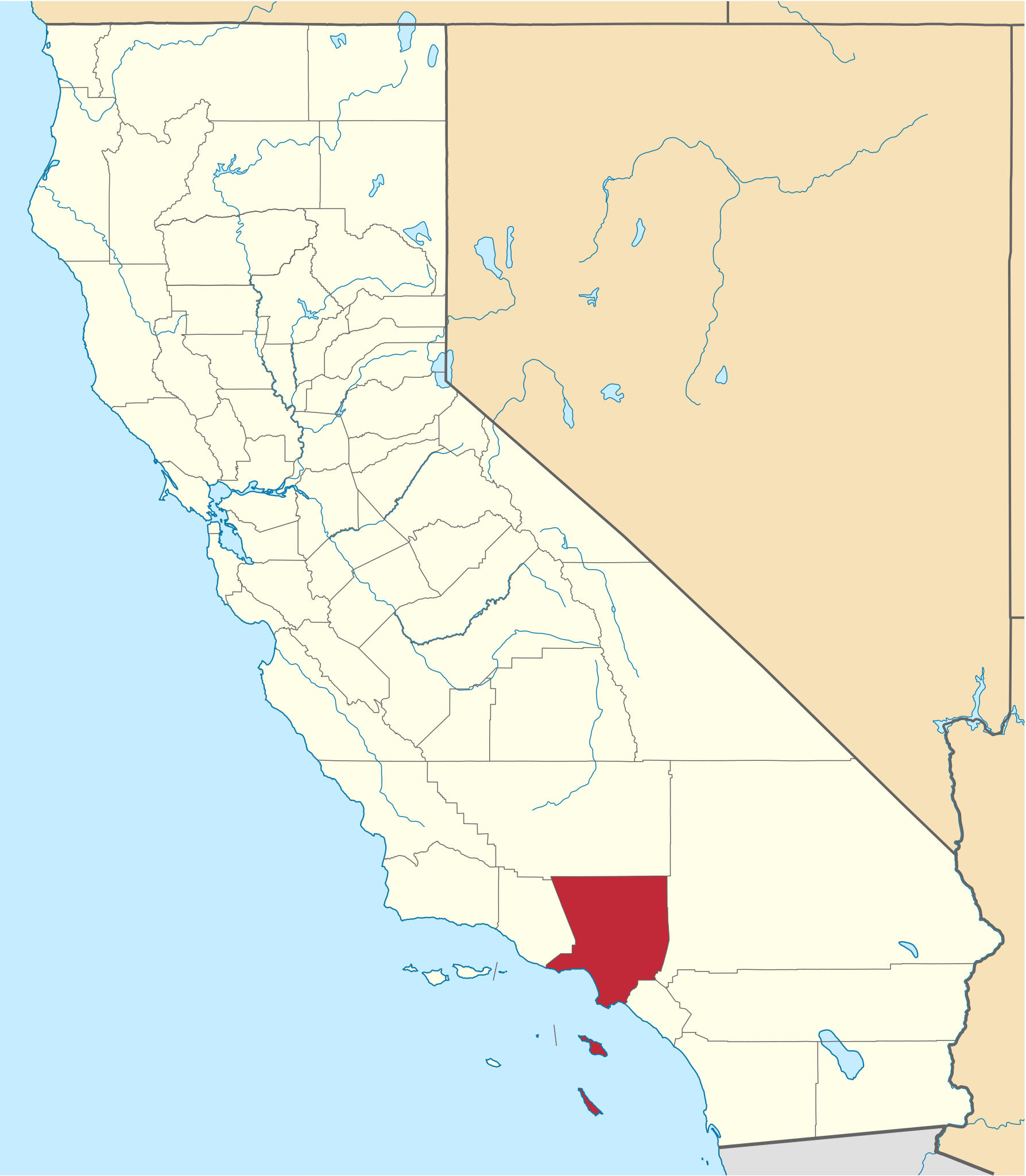
File:Map of California highlighting Los Angeles County.svg
Jump to navigation
Jump to search

Size of this PNG preview of this SVG file: 523 × 599 pixels. Other resolutions: 209 × 240 pixels | 419 × 480 pixels | 670 × 768 pixels | 894 × 1,024 pixels | 1,787 × 2,048 pixels | 1,022 × 1,171 pixels.
Original file (SVG file, nominally 1,022 × 1,171 pixels, file size: 488 KB)
Summary
| Description | |
| Date | |
| Source | nationalatlas.gov, specifically countyp020.tar.gz on the Raw Data Download page. The maps also use state outline data from statesp020.tar.gz. |
| Author | David Benbennick made this map. |
| Other versions | For more information, see Commons:United States county locator maps. |
| SVG development |
| I, the copyright holder of this work, release this work into the public domain. This applies worldwide. In some countries this may not be legally possible; if so: I grant anyone the right to use this work for any purpose, without any conditions, unless such conditions are required by law. |
File history
Click on a date/time to view the file as it appeared at that time.
| Date/Time | Thumbnail | Dimensions | User | Comment | |
|---|---|---|---|---|---|
| current | 18:23, 25 November 2016 | | 1,022 × 1,171 (488 KB) | commons>Spartan7W | Update high quality map |
File usage
There are no pages that use this file.