File:Map of Australia and New Zealand with an inset.svg
Jump to navigation
Jump to search

Size of this PNG preview of this SVG file: 787 × 600 pixels. Other resolutions: 315 × 240 pixels | 630 × 480 pixels | 1,008 × 768 pixels | 1,280 × 975 pixels | 2,560 × 1,950 pixels | 1,205 × 918 pixels.
Original file (SVG file, nominally 1,205 × 918 pixels, file size: 577 KB)
Summary
| Description |
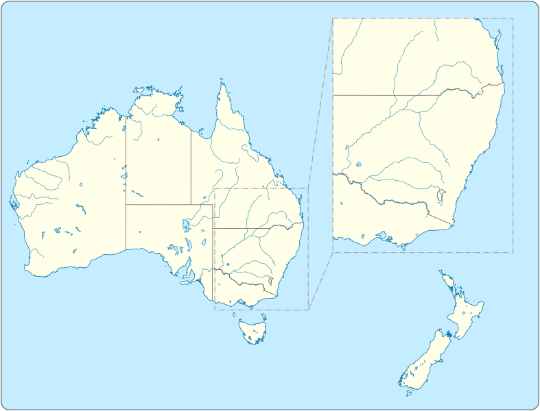
English: Map of Australia and New Zealand with Eastern Inset.
|
||||||||||||||||||||||||||||||||||||||||||||||
| Date | |||||||||||||||||||||||||||||||||||||||||||||||
| Source |
Own work |
||||||||||||||||||||||||||||||||||||||||||||||
| Author | Goran tek-en | ||||||||||||||||||||||||||||||||||||||||||||||
| Other versions |
|
||||||||||||||||||||||||||||||||||||||||||||||
| SVG development | This vector image was created with Inkscape. |
||||||||||||||||||||||||||||||||||||||||||||||


| Object location | | View this and other nearby images on: OpenStreetMap |
|---|


.svg)
Licensing
This file is licensed under the Creative Commons Attribution-Share Alike 4.0 International license.
Attribution: Goran tek-en
- You are free:
- to share – to copy, distribute and transmit the work
- to remix – to adapt the work
- Under the following conditions:
- attribution – You must give appropriate credit, provide a link to the license, and indicate if changes were made. You may do so in any reasonable manner, but not in any way that suggests the licensor endorses you or your use.
- share alike – If you remix, transform, or build upon the material, you must distribute your contributions under the same or compatible license as the original.
File history
Click on a date/time to view the file as it appeared at that time.
| Date/Time | Thumbnail | Dimensions | User | Comment | |
|---|---|---|---|---|---|
| current | 12:46, 24 April 2022 | | 1,205 × 918 (577 KB) | commons>Goran tek-en | changed colors and types of lines |
File usage
There are no pages that use this file.