File:Map of Ashtabula County Ohio Highlighting Conneaut City.png
Jump to navigation
Jump to search
Size of this preview: 279 × 599 pixels. Other resolutions: 111 × 240 pixels | 547 × 1,175 pixels.
Original file (547 × 1,175 pixels, file size: 41 KB, MIME type: image/png)
File history
Click on a date/time to view the file as it appeared at that time.
| Date/Time | Thumbnail | Dimensions | User | Comment | |
|---|---|---|---|---|---|
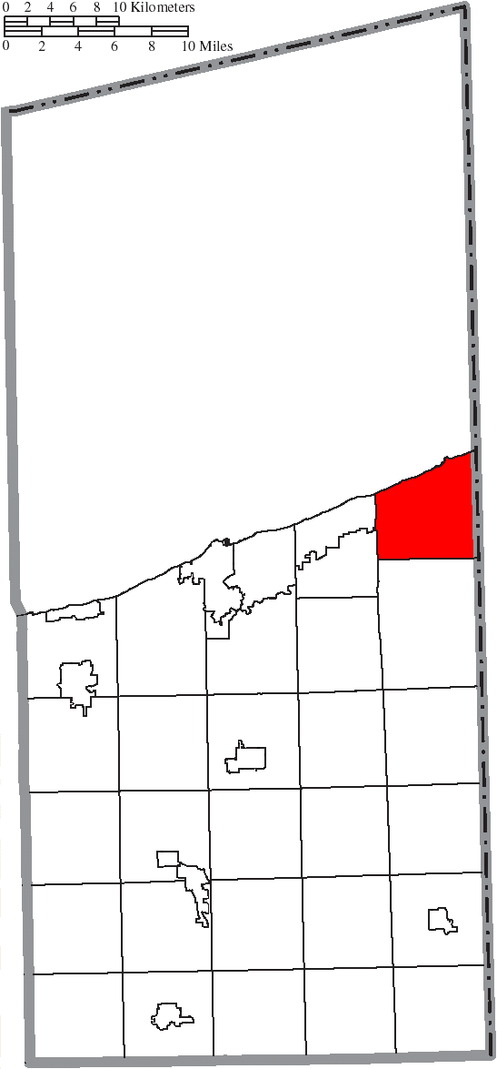
| current | 22:16, 16 August 2015 | | 547 × 1,175 (41 KB) | commons>Nyttend | {{Information |Description={{en|Map of the municipal and township boundaries of {{w|Ashtabula County, Ohio|Ashtabula County}}, {{w|Ohio}}, {{w|United States}}, as of the 2000 census, with the location of the city of {{w|Conneaut, Ohio|Conneaut}} highli... |
File usage
There are no pages that use this file.