File:MapOfGascony.png
Jump to navigation
Jump to search
No higher resolution available.
MapOfGascony.png (484 × 513 pixels, file size: 93 KB, MIME type: image/png)
File history
Click on a date/time to view the file as it appeared at that time.
| Date/Time | Thumbnail | Dimensions | User | Comment | |
|---|---|---|---|---|---|
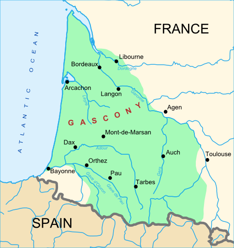
| current | 11:40, 9 March 2007 | | 484 × 513 (93 KB) | commons>Larrousiney | == Summary == {{Information |Description=Map of Gascony, South West of France |Source=Wikipedia fr |Date=09/13/2007 |Author=Larrousiney |Permission= |other_versions= }} |
File usage
There are no pages that use this file.