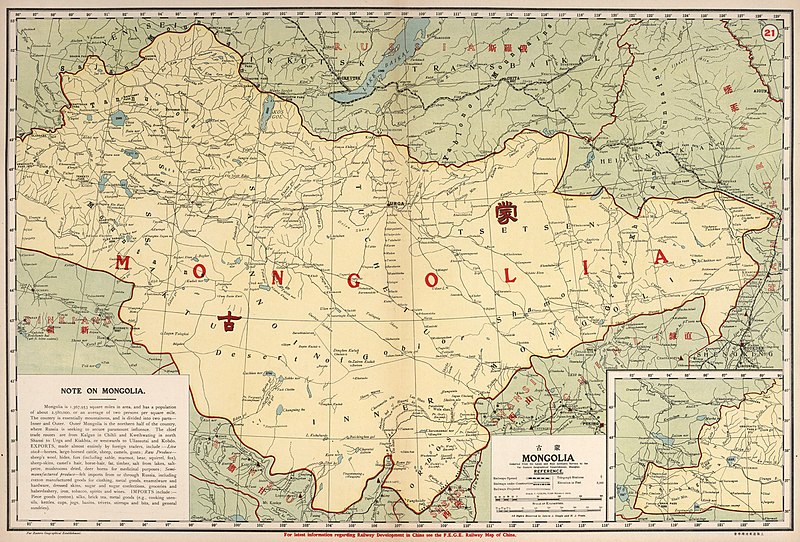
File:Map-of-Unified-Mongolia-1917.jpg
Jump to navigation
Jump to search

Size of this preview: 800 × 542 pixels. Other resolutions: 320 × 217 pixels | 640 × 434 pixels | 1,024 × 694 pixels | 1,280 × 867 pixels | 2,560 × 1,735 pixels | 9,147 × 6,199 pixels.
Original file (9,147 × 6,199 pixels, file size: 59.47 MB, MIME type: image/jpeg)
File history
Click on a date/time to view the file as it appeared at that time.
| Date/Time | Thumbnail | Dimensions | User | Comment | |
|---|---|---|---|---|---|
| current | 07:27, 13 December 2021 | | 9,147 × 6,199 (59.47 MB) | commons>Artanisen | Uploaded a work by Far Eastern Geographical Establishment; Dingle, John Edwin. Published in 1917 based on dates of data (through 1916) and comments by the author in the preface. from David Rumsey Map Collection https://www.davidrumsey.com/luna/servlet/detail/RUMSEY~8~1~288163~90059571:21--Mongolia- with UploadWizard |
File usage
There are no pages that use this file.