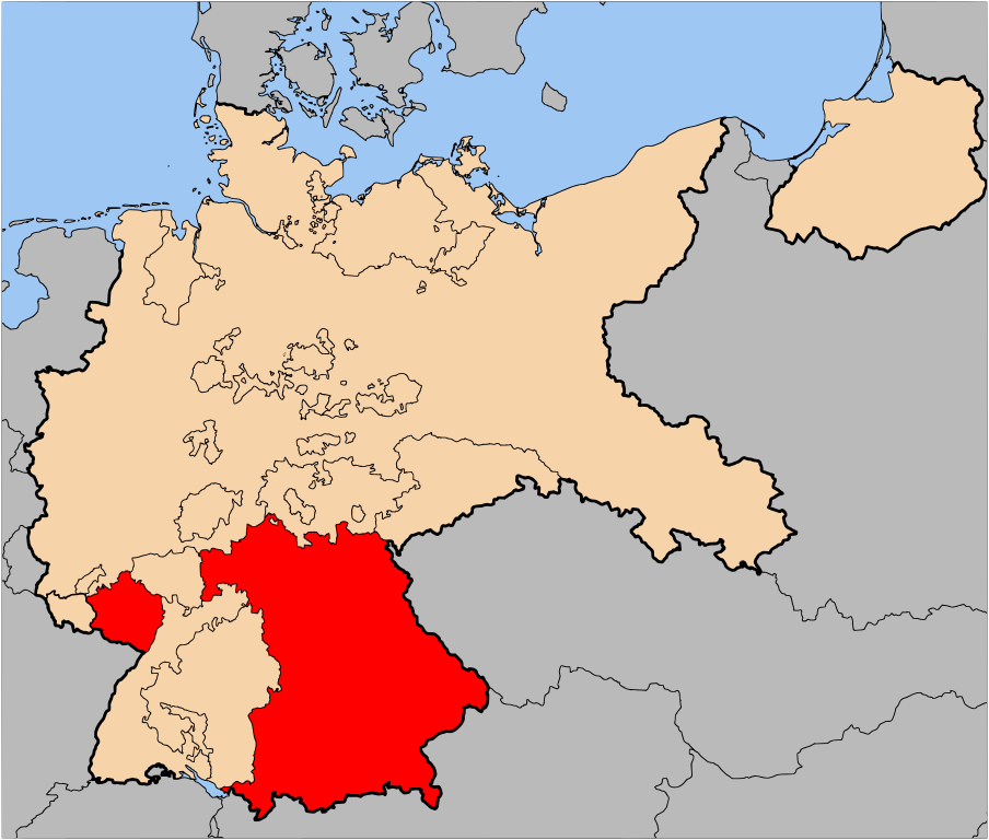
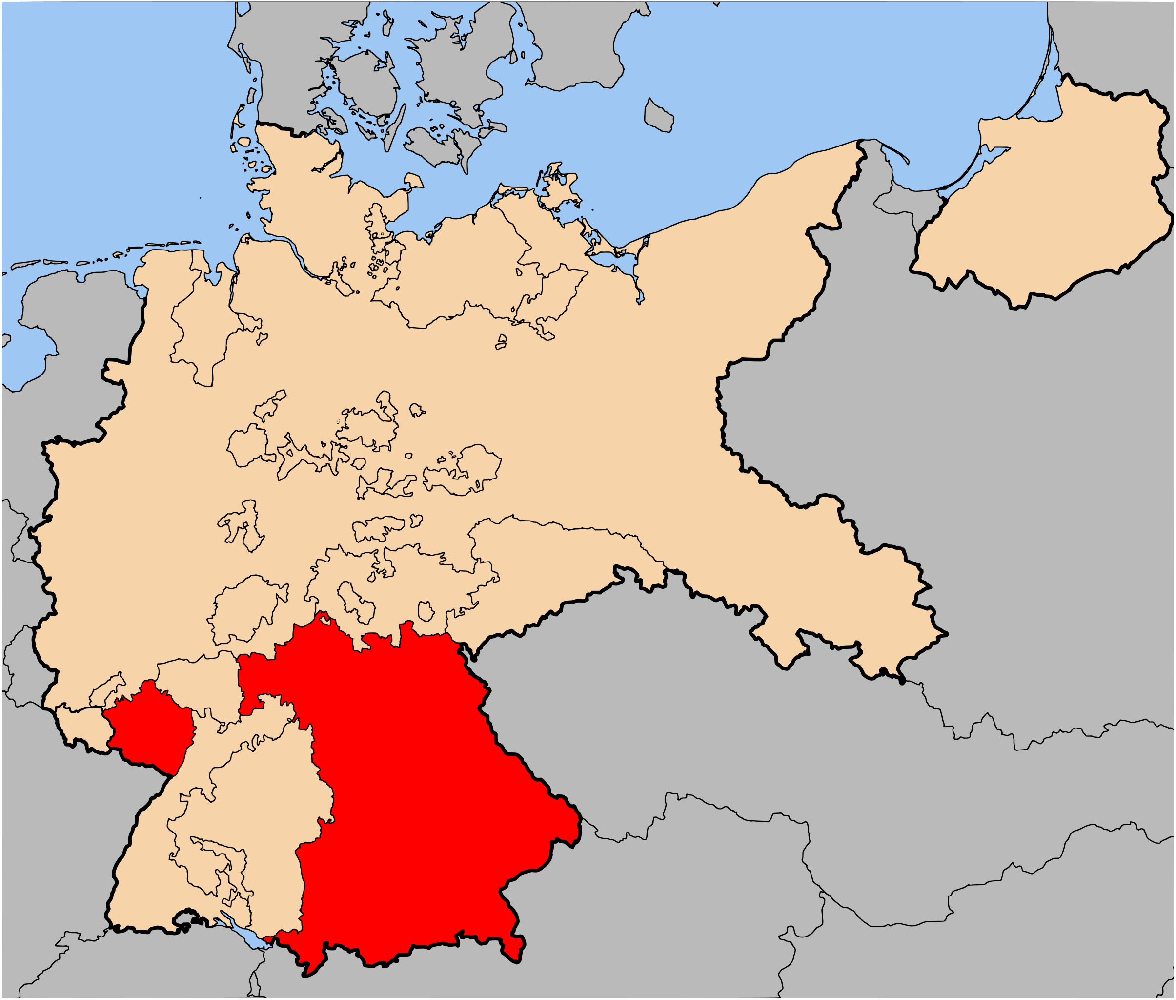
File:Map-WR-Bavaria.svg
Jump to navigation
Jump to search

Size of this PNG preview of this SVG file: 706 × 600 pixels. Other resolutions: 283 × 240 pixels | 565 × 480 pixels | 904 × 768 pixels | 1,205 × 1,024 pixels | 2,410 × 2,048 pixels | 1,185 × 1,007 pixels.
Original file (SVG file, nominally 1,185 × 1,007 pixels, file size: 541 KB)
File history
Click on a date/time to view the file as it appeared at that time.
| Date/Time | Thumbnail | Dimensions | User | Comment | |
|---|---|---|---|---|---|
| current | 07:15, 2 July 2007 | | 1,185 × 1,007 (541 KB) | commons>52 Pickup | {{Information| |Description= The Free State of Bavaria (Freistaat Bayern) within Germany at the time of the Weimar Republic |Source= Based on map data of the IEG-Maps project (Andreas Kunz, B. Johnen |
File usage
There are no pages that use this file.