File:Map-Pyrford.png
Jump to navigation
Jump to search
No higher resolution available.
Map-Pyrford.png (639 × 488 pixels, file size: 167 KB, MIME type: image/png)
File history
Click on a date/time to view the file as it appeared at that time.
| Date/Time | Thumbnail | Dimensions | User | Comment | |
|---|---|---|---|---|---|
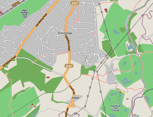
| current | 19:46, 3 May 2009 | | 639 × 488 (167 KB) | commons>BHJ | {{Information |Description={{en|1=Road map of Pyrford village}} |Source=www.openstreetmap.org |Author=Open Street Map |Date=May 3 2009 |Permission=See below |other_versions= }} <!--{{ImageUpload|full}}--> Category:Maps of Surrey villages [[Category:M |
File usage
There are no pages that use this file.