File:Malabar Farm Mt. Jeez.JPG
Jump to navigation
Jump to search
Size of this preview: 800 × 594 pixels. Other resolutions: 320 × 238 pixels | 640 × 475 pixels | 1,024 × 760 pixels | 1,280 × 950 pixels | 2,080 × 1,544 pixels.
Original file (2,080 × 1,544 pixels, file size: 616 KB, MIME type: image/jpeg)
Summary
| Description |
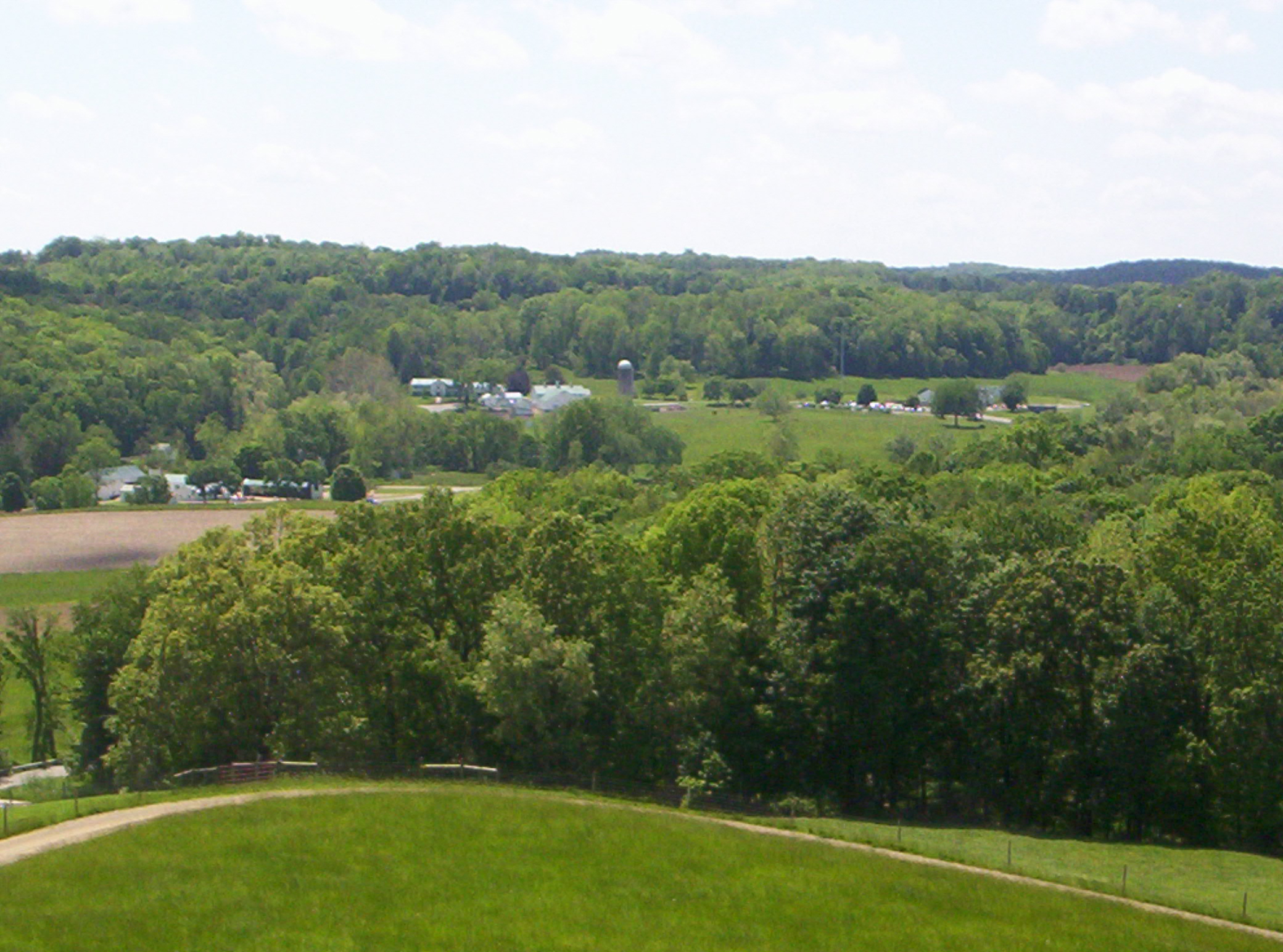
English: A view of Malabar Farm from Mt. Jeez overlook near Lucas, Ohio. Mt. Jeez has a elevation at 1,295 feet above sea level.
|
||||
| Date | |||||
| Source | Own work | ||||
| Author | User:OHWiki | ||||
| Permission (Reusing this file) |
|
File history
Click on a date/time to view the file as it appeared at that time.
| Date/Time | Thumbnail | Dimensions | User | Comment | |
|---|---|---|---|---|---|
| current | 21:28, 1 June 2008 | | 2,080 × 1,544 (616 KB) | commons>OHWiki~commonswiki | {{Information |Description={{en|1=A view of Malabar Farm from Mt. Jeez.}} |Source=Own work by uploader |Author=User:OHWiki |Date=1 June 2008 |Permission= |other_versions= }} {{ImageUpload|full}} |
File usage
There are no pages that use this file.