File:Locmap-Texada2.png
Jump to navigation
Jump to search
No higher resolution available.
Locmap-Texada2.png (396 × 256 pixels, file size: 42 KB, MIME type: image/png)
File history
Click on a date/time to view the file as it appeared at that time.
| Date/Time | Thumbnail | Dimensions | User | Comment | |
|---|---|---|---|---|---|
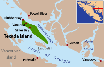
| current | 20:09, 27 April 2008 | | 396 × 256 (42 KB) | commons>Pfly | {{Information |Description=This is a locator map of Texada Island. I, Pfly, made it with ArcGIS, Adobe Illustrator, and Adobe Photoshop. The coastline |
File usage
There are no pages that use this file.