File:Location map United Kingdom Reading.png
Jump to navigation
Jump to search
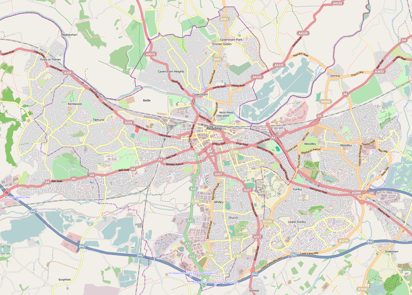
Size of this preview: 800 × 572 pixels. Other resolutions: 320 × 229 pixels | 640 × 458 pixels | 1,024 × 732 pixels | 1,425 × 1,019 pixels.
Original file (1,425 × 1,019 pixels, file size: 1.34 MB, MIME type: image/png)
File history
Click on a date/time to view the file as it appeared at that time.
| Date/Time | Thumbnail | Dimensions | User | Comment | |
|---|---|---|---|---|---|
| current | 22:44, 28 April 2011 | | 1,425 × 1,019 (1.34 MB) | commons>BaldBoris | =={{int:filedesc}}== {{Information |description={{en|1=Map of Reading}} Geographic limits: * N: 51.4959° * S: 51.4088° * W: -1.0688° * E: -0.8734° |date=2011-04-28 |source=http://www.openstreetmap.org/?lat=51.4524&lon=- |
File usage
There are no pages that use this file.