File:Line Islands location map (with names).svg
Jump to navigation
Jump to search

Size of this PNG preview of this SVG file: 491 × 600 pixels. Other resolutions: 196 × 240 pixels | 393 × 480 pixels | 629 × 768 pixels | 838 × 1,024 pixels | 1,677 × 2,048 pixels | 605 × 739 pixels.
Original file (SVG file, nominally 605 × 739 pixels, file size: 1.96 MB)
.svg)
File history
Click on a date/time to view the file as it appeared at that time.
| Date/Time | Thumbnail | Dimensions | User | Comment | |
|---|---|---|---|---|---|
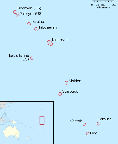
| current | 07:51, 8 August 2021 | | 605 × 739 (1.96 MB) | commons>Isochrone | == {{int:filedesc}} == {{Information |Description= {{en|Location of {{w|Line Islands}} in Oceania.}} |Source={{own}}, {{AttribSVG|Oceania laea location map.svg|Uwe Dedering}} and OpenStreetMap contributors |Date=8 August 2021 |Author={{u|Berrely}} |Permission= |other_versions={{SVG locator maps (location map scheme)}} }} == {{int:license-header}} == {{self|cc-by-sa-all}} {{ODbL OpenStreetMap}} Category:SVG locator maps of Kiribati (location map scheme) [[Category:Maps of... |
File usage
There are no pages that use this file.
.svg)