File:Lindsey - Lincolnshire Brit Isles section.svg
Jump to navigation
Jump to search

Size of this PNG preview of this SVG file: 420 × 599 pixels. Other resolutions: 168 × 240 pixels | 336 × 480 pixels | 538 × 768 pixels | 717 × 1,024 pixels | 1,435 × 2,048 pixels | 555 × 792 pixels.
Original file (SVG file, nominally 555 × 792 pixels, file size: 1.69 MB)
Summary
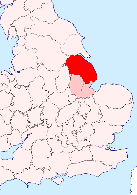
| Description | Location of Lindsey in Lincolnshire, on a section of Great Britain | ||
| Date | |||
| Source |
This file is licensed under the Creative Commons Attribution-Share Alike 3.0 Unported license. Attribution: Wikishire
|
||
| Author | Hogweard | ||
| Permission (Reusing this file) |
|
File history
Click on a date/time to view the file as it appeared at that time.
| Date/Time | Thumbnail | Dimensions | User | Comment | |
|---|---|---|---|---|---|
| current | 12:35, 15 October 2020 | | 555 × 792 (1.69 MB) | commons>Hogweard | {{Information |description=Location of Lindsey in Lincolnshire, on a section of Great Britain |date=2020-10-15 |source=*{{f|Lincolnshire - British Isles.svg}} *{{Wikishire data}} |author={{u|Hogweard}} |permission={{PD-self}} |other versions= }} Category:Maps of historic counties of the United Kingdom Category:SVG locator maps of counties of the United Kingdom Category:Maps of Lincolnshire |
File usage
There are no pages that use this file.