File:Lawrence-Weston-Flats.jpg
Jump to navigation
Jump to search
No higher resolution available.
Lawrence-Weston-Flats.jpg (450 × 306 pixels, file size: 45 KB, MIME type: image/jpeg)
Summary
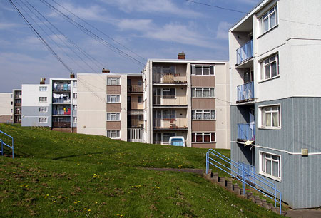
| Description | Council owned housing in Long Cross, Lawrence Weston |
| Date | |
| Source | Own work |
| Author | Weirdoldhattie |
| Camera location | | View this and other nearby images on: OpenStreetMap |
|---|
Licensing
| This work has been released into the public domain by its author, I, Weirdoldhattie. This applies worldwide. In some countries this may not be legally possible; if so: I, Weirdoldhattie grants anyone the right to use this work for any purpose, without any conditions, unless such conditions are required by law. |
File history
Click on a date/time to view the file as it appeared at that time.
| Date/Time | Thumbnail | Dimensions | User | Comment | |
|---|---|---|---|---|---|
| current | 15:30, 15 June 2007 | | 450 × 306 (45 KB) | commons>Weirdoldhattie | {{Information |Description= Council owned housing in Long Cross, Lawrence Weston |Source=self-made |Date= 15.6.07 |Author= Weirdoldhattie }} |
File usage
There are no pages that use this file.