File:Laverlochère-Angliers Quebec location diagram.png
Jump to navigation
Jump to search

Size of this preview: 600 × 600 pixels. Other resolutions: 240 × 240 pixels | 480 × 480 pixels | 768 × 768 pixels | 1,024 × 1,024 pixels | 1,495 × 1,495 pixels.
Original file (1,495 × 1,495 pixels, file size: 275 KB, MIME type: image/png)
File history
Click on a date/time to view the file as it appeared at that time.
| Date/Time | Thumbnail | Dimensions | User | Comment | |
|---|---|---|---|---|---|
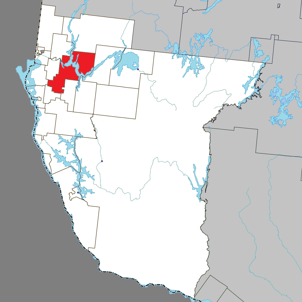
| current | 17:31, 23 November 2023 | | 1,495 × 1,495 (275 KB) | commons>P199 | == {{int:filedesc}} == {{Information |Description={{en|Location of Laverlochère-Angliers within Témiscamingue Regional County Municipality.}} |Source=File:Laverlochère Quebec location diagram.png |Date=2023 |Author=Original: Gordalmighty<br/>Derivative: Roncanada |Permission= |other_versions= }} =={{int:license-header}}== {{cc-by-sa-3.0}} |
File usage
There are no pages that use this file.