File:Landsat ataturk 24aug02 57m.jpg
Jump to navigation
Jump to search
Size of this preview: 799 × 599 pixels. Other resolutions: 320 × 240 pixels | 640 × 480 pixels | 1,024 × 768 pixels | 1,280 × 960 pixels | 1,973 × 1,480 pixels.
Original file (1,973 × 1,480 pixels, file size: 1.63 MB, MIME type: image/jpeg)
Summary
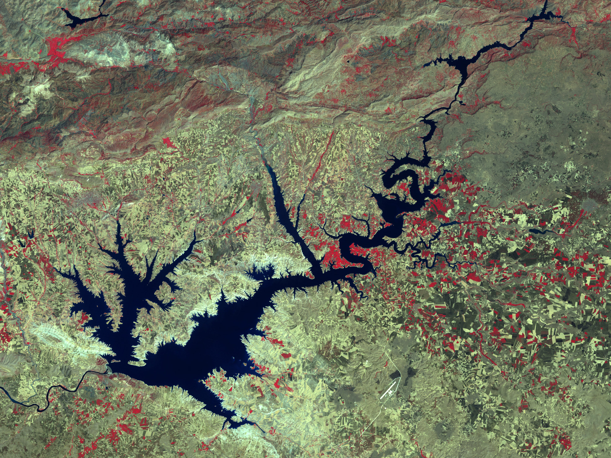
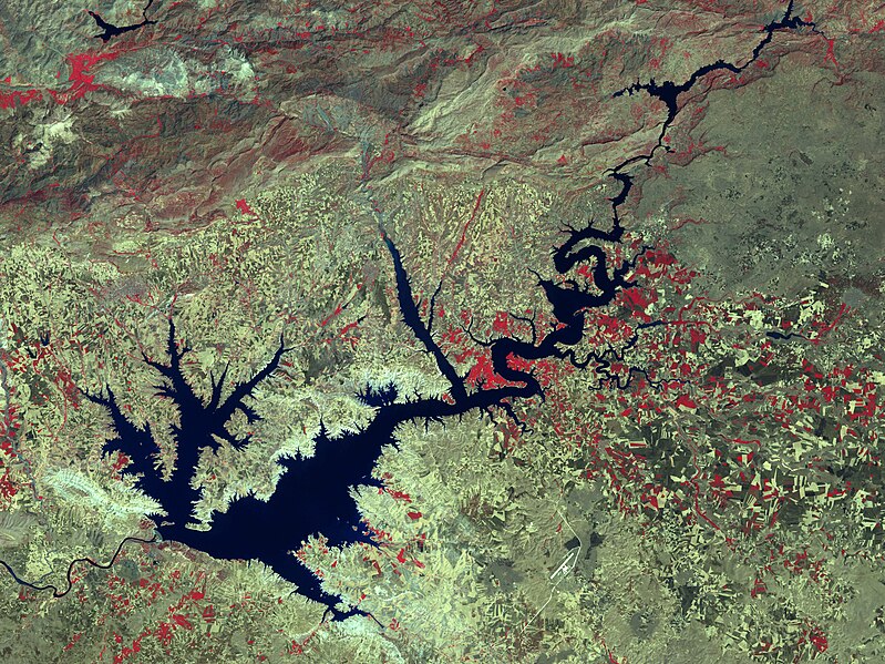
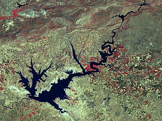
| Description | Ataturk Dam Lake after the construction of the dam. Image aquired by Landsat 7 Enhanced Thematic Mapper Plus (ETM+) instruments (ETM+ bands 4, 3, and 2). |
| Date | |
| Source |
http://visibleearth.nasa.gov/view_rec.php?id=16576 (direct link) (direct link) |
| Author | NASA and USDA Foreign Agricultural Service Production Estimates and Crop Assessment Division (PECAD). |
Licensing
| This file is in the public domain in the United States because it was solely created by NASA. NASA copyright policy states that "NASA material is not protected by copyright unless noted". (See Template:PD-USGov, NASA copyright policy page or JPL Image Use Policy.) | ||
 |
Warnings:
|
File history
Click on a date/time to view the file as it appeared at that time.
| Date/Time | Thumbnail | Dimensions | User | Comment | |
|---|---|---|---|---|---|
| current | 07:42, 26 December 2007 | | 1,973 × 1,480 (1.63 MB) | commons>Ori~ | source: http://en.wikipedia.org/wiki/Image:Landsat_ataturk_24aug02_57m.jpg ==Summary== Source: http://www.fas.usda.gov/pecad2/highlights/2001/08/turkey_gap/pictures/turkey_gap.htm ([http://www.fas.usda.gov/pecad2/highlights/2001/08/Turkey_Crop_Tour_files |
File usage
There are no pages that use this file.