File:La Prade Map 1888 of Chesterfield County (zoom on Manchester and Southside).jpg
Jump to navigation
Jump to search

Size of this preview: 800 × 384 pixels. Other resolutions: 320 × 154 pixels | 640 × 307 pixels | 1,024 × 492 pixels | 1,901 × 913 pixels.
Original file (1,901 × 913 pixels, file size: 426 KB, MIME type: image/jpeg)
.jpg)
Summary
| Description |
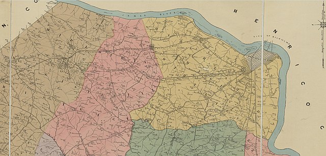
English: Map of Chesterfield County, Virginia 1888 (cropped to Manchester and Southside) |
| Date | |
| Source | This image is available from the United States Library of Congress's Prints and Photographs division under the digital ID g3883c.la001239. |
| Author | LaPrade, J. E. (Joseph Edgar), 1845-1903. |
| Camera location | | View this and other nearby images on: OpenStreetMap |
|---|
.jpg¶ms=037.522465_N_-077.611810_E_globe:Earth_type:camera__&language=en)
Licensing
This work is in the public domain in the United States because it was published (or registered with the U.S. Copyright Office) before January 1, 1929.
Public domain works must be out of copyright in both the United States and in the source country of the work in order to be hosted on the Commons. If the work is not a U.S. work, the file must have an additional copyright tag indicating the copyright status in the source country.
Note: This tag should not be used for sound recordings. |
File history
Click on a date/time to view the file as it appeared at that time.
| Date/Time | Thumbnail | Dimensions | User | Comment | |
|---|---|---|---|---|---|
| current | 22:43, 18 December 2018 | | 1,901 × 913 (426 KB) | commons>MPS | User created page with UploadWizard |
File usage
There are no pages that use this file.
.jpg)