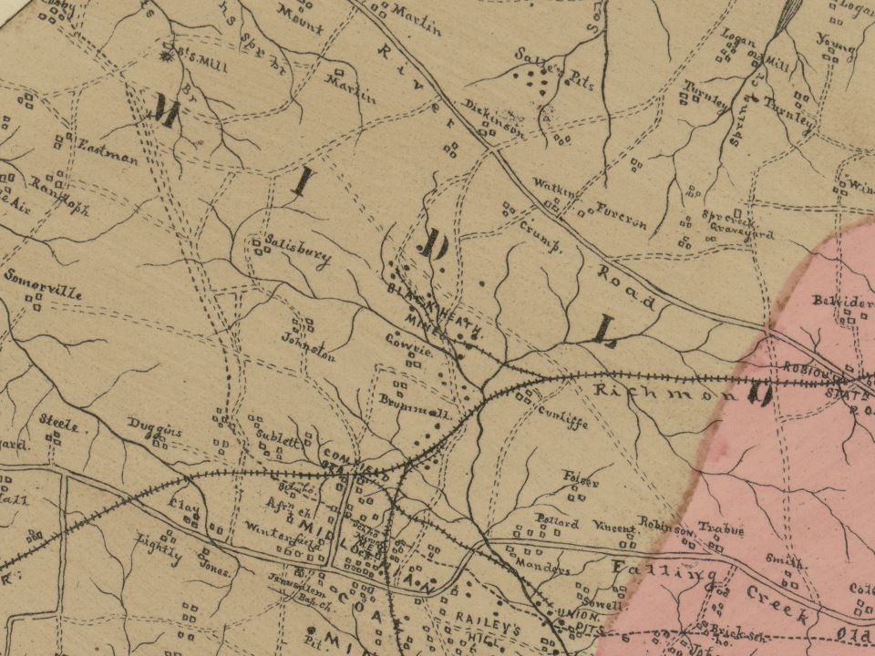
File:La Prade Map 1888 of Chesterfield County (zoom on Black Heath Mines).jpg
Jump to navigation
Jump to search
Size of this preview: 800 × 600 pixels. Other resolutions: 320 × 240 pixels | 640 × 480 pixels | 960 × 720 pixels.
Original file (960 × 720 pixels, file size: 151 KB, MIME type: image/jpeg)
.jpg)
File history
Click on a date/time to view the file as it appeared at that time.
| Date/Time | Thumbnail | Dimensions | User | Comment | |
|---|---|---|---|---|---|
| current | 01:10, 27 April 2024 | | 960 × 720 (151 KB) | commons>User-duck | File:La Prade Map 1888 of Chesterfield County (zoom on Midlothian Mines).jpg cropped 48 % horizontally, 21 % vertically using CropTool with lossless mode. |
.jpg)
File usage
There are no pages that use this file.
.jpg)