File:La Paz County Incorporated and Unincorporated areas Salome highlighted.svg
Jump to navigation
Jump to search

Size of this PNG preview of this SVG file: 537 × 599 pixels. Other resolutions: 215 × 240 pixels | 430 × 480 pixels | 688 × 768 pixels | 918 × 1,024 pixels | 1,836 × 2,048 pixels | 650 × 725 pixels.
Original file (SVG file, nominally 650 × 725 pixels, file size: 56 KB)
File history
Click on a date/time to view the file as it appeared at that time.
| Date/Time | Thumbnail | Dimensions | User | Comment | |
|---|---|---|---|---|---|
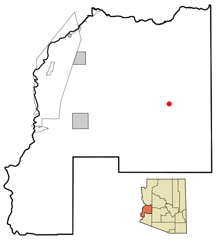
| current | 17:50, 23 March 2007 | | 650 × 725 (56 KB) | commons>Ixnayonthetimmay | {{Information |Description=This map shows the incorporated areas and unincorporated areas in La Paz County, Arizona. Salome is highligh |
File usage
There are no pages that use this file.