File:LA2-Bering-Sea-UTM-zones.png
Jump to navigation
Jump to search

Size of this preview: 800 × 430 pixels. Other resolutions: 320 × 172 pixels | 640 × 344 pixels | 960 × 516 pixels.
Original file (960 × 516 pixels, file size: 103 KB, MIME type: image/png)
File history
Click on a date/time to view the file as it appeared at that time.
| Date/Time | Thumbnail | Dimensions | User | Comment | |
|---|---|---|---|---|---|
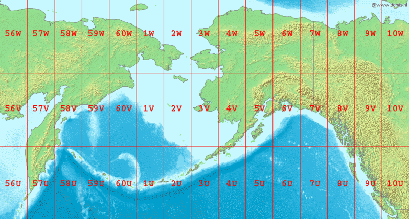
| current | 07:04, 3 September 2006 | | 960 × 516 (103 KB) | commons>LA2 | Map of en:Bering Sea, showing the latitude and longitude zones of the en:Universal Transverse Mercator coordinate system, from 56U to 10W. National borders between Alaska, Canada, and the continental United States are also shown. Bounding box W |
File usage
There are no pages that use this file.