File:Krāslavas novada karte.png
Jump to navigation
Jump to search
No higher resolution available.
Krāslavas_novada_karte.png (592 × 350 pixels, file size: 68 KB, MIME type: image/png)
File history
Click on a date/time to view the file as it appeared at that time.
| Date/Time | Thumbnail | Dimensions | User | Comment | |
|---|---|---|---|---|---|
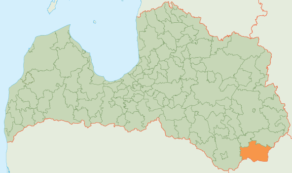
| current | 15:10, 7 August 2009 | | 592 × 350 (68 KB) | commons>Riharcc | {{Information |Description={{lv|1=Krāslavas novada karte}} {{en|1=Map of Krāslava municipality, Latvia}} |Source=Own work by uploader |Author=Riharcc |Date= |Permission= |other_versions= }} [[Category:Maps of administrative units of La |
File usage
There are no pages that use this file.