File:Kootenaylakemap.png
Jump to navigation
Jump to search

Size of this preview: 600 × 600 pixels. Other resolutions: 240 × 240 pixels | 480 × 480 pixels | 1,000 × 1,000 pixels.
Original file (1,000 × 1,000 pixels, file size: 972 KB, MIME type: image/png)
File history
Click on a date/time to view the file as it appeared at that time.
| Date/Time | Thumbnail | Dimensions | User | Comment | |
|---|---|---|---|---|---|
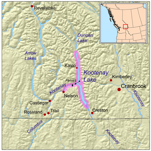
| current | 20:44, 13 May 2008 | | 1,000 × 1,000 (972 KB) | commons>Kmusser | {{Information |Description=This is a map highlighting Kootenay Lake. |Source=self-made, based on USGS and Digital Chart of the World data. |Date=May 13, 2008 |Author= [[User:Kmusser|Kmu |
File usage
There are no pages that use this file.