File:Kolozs county map.jpg
Original file (2,100 × 1,596 pixels, file size: 328 KB, MIME type: image/jpeg)
Summary
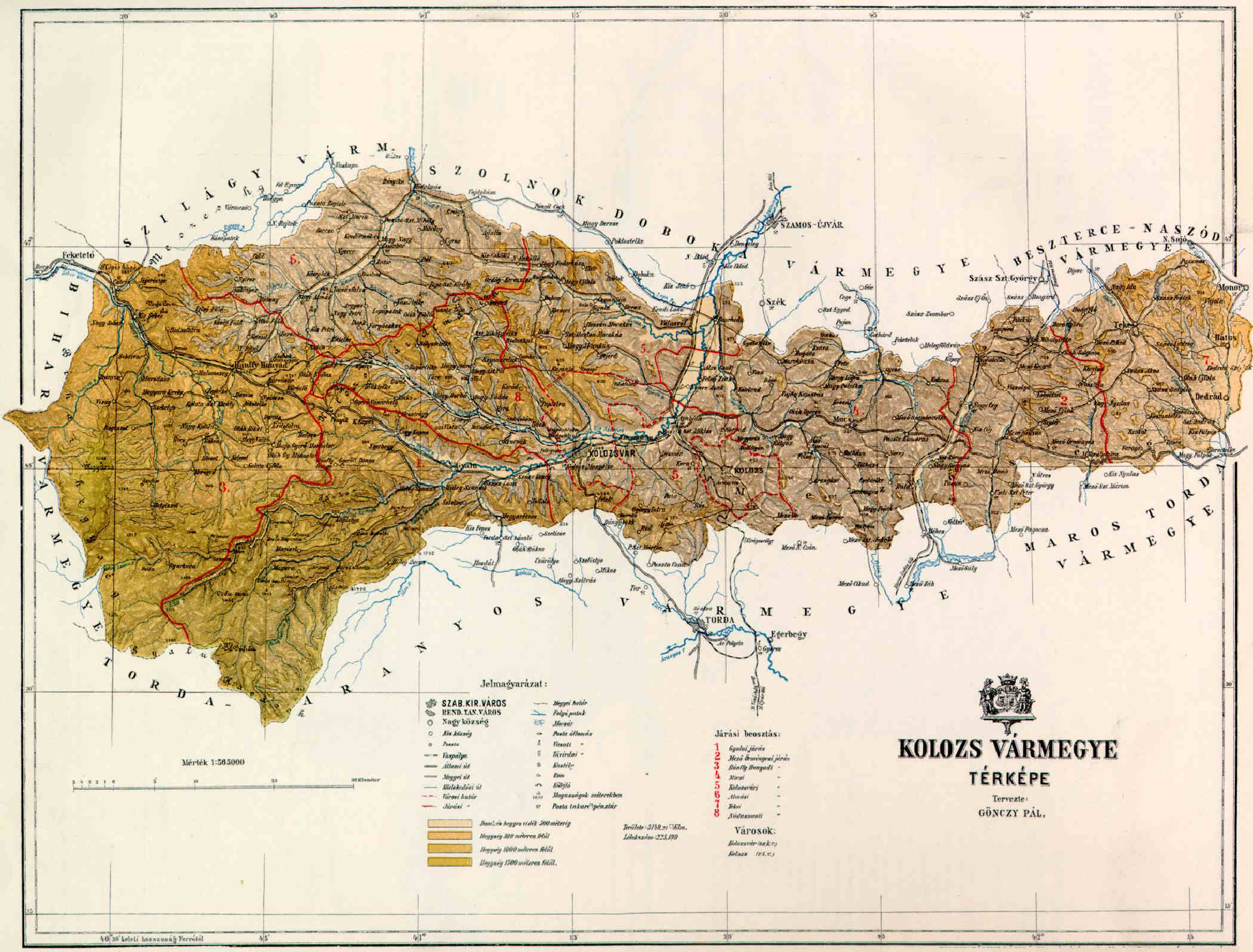
Map of Kolozs county in the Kingdom of Hungary (1891).
Licensing
|
This work is in the public domain in its country of origin and other countries and areas where the copyright term is the author's life plus 70 years or fewer.
| |
| This file has been identified as being free of known restrictions under copyright law, including all related and neighboring rights. | |
File history
Click on a date/time to view the file as it appeared at that time.
| Date/Time | Thumbnail | Dimensions | User | Comment | |
|---|---|---|---|---|---|
| current | 11:53, 8 June 2006 | | 2,100 × 1,596 (328 KB) | commons>Peppe83~commonswiki | Map of Kolozs county in the Kingdom of Hungary (1891). Category:Counties in the Kingdom of Hungary |
File usage
There are no pages that use this file.