File:Kokomo, Colorado historical marker.JPG
Jump to navigation
Jump to search

Size of this preview: 800 × 530 pixels. Other resolutions: 320 × 212 pixels | 640 × 424 pixels | 1,024 × 678 pixels | 1,280 × 848 pixels | 2,560 × 1,696 pixels | 5,263 × 3,486 pixels.
Original file (5,263 × 3,486 pixels, file size: 12.62 MB, MIME type: image/jpeg)
File history
Click on a date/time to view the file as it appeared at that time.
| Date/Time | Thumbnail | Dimensions | User | Comment | |
|---|---|---|---|---|---|
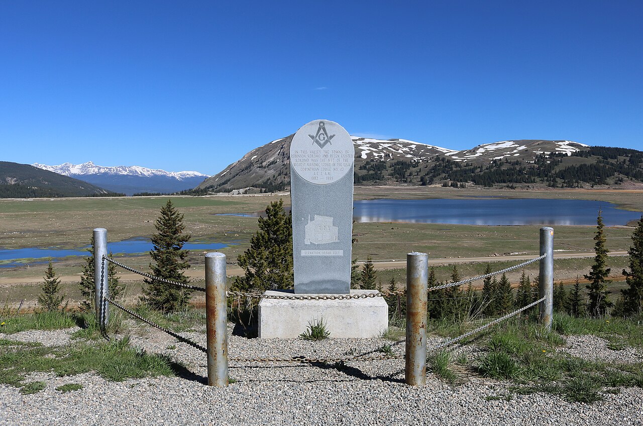
| current | 12:40, 21 June 2023 | | 5,263 × 3,486 (12.62 MB) | commons>Jeffrey Beall | {{Information |Description=A historical marker for {{W|Kokomo, Colorado}}, two other towns, and the Masonic lodge that existed in Kokomo. The marker is located along {{Colorado State Highway 91}}. The view in the picture is towards the west. The inscription on the monument says, "In this valley the towns of Robinson, Kokomo and Recen existed. Kokomo was the site of the highest Masonic Lodge in the U.S.A. Corinthian Lodge No. 42 A.E. & A.M. 1882 – 1966 Elevation 10,618 feet." |Source={{own}} |... |
File usage
There are no pages that use this file.