File:Khanate of Guba in the Map of Caucasus with the borders 1801-1813.png
Jump to navigation
Jump to search

Size of this preview: 613 × 599 pixels. Other resolutions: 245 × 240 pixels | 491 × 480 pixels | 814 × 796 pixels.
Original file (814 × 796 pixels, file size: 1.27 MB, MIME type: image/png)
File history
Click on a date/time to view the file as it appeared at that time.
| Date/Time | Thumbnail | Dimensions | User | Comment | |
|---|---|---|---|---|---|
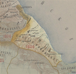
| current | 17:58, 13 September 2012 | | 814 × 796 (1.27 MB) | commons>Interfase | {{Information |Description ={{en|1=Khanate of Guba in the Map of Caucasus with the borders 1801-1813}} |Source =[http://xn--b1aaibpv0aet4h1a.xn--p1ai/forums/uploads/gallery/album_19/gallery_4_19_4287845.jpg Карта Кавказского... |
File usage
There are no pages that use this file.