File:Kenilworth Map.png
Jump to navigation
Jump to search
Size of this preview: 578 × 599 pixels. Other resolutions: 232 × 240 pixels | 463 × 480 pixels | 741 × 768 pixels | 1,128 × 1,169 pixels.
Original file (1,128 × 1,169 pixels, file size: 1.31 MB, MIME type: image/png)
File history
Click on a date/time to view the file as it appeared at that time.
| Date/Time | Thumbnail | Dimensions | User | Comment | |
|---|---|---|---|---|---|
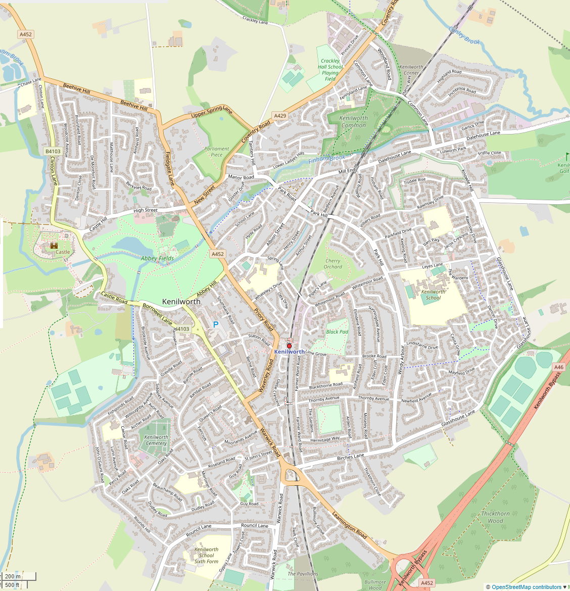
| current | 04:24, 23 September 2020 | | 1,128 × 1,169 (1.31 MB) | commons>G-13114 | {{OpenStreetMap |name = |location = |description = Map of Kenilworth, Warwickshire. |top = |bottom = |left = |right = |date = 2020-09-23 |authors = Own work, derived from open street map. |other_versions = }} Category:Maps of Warwickshire Category:Kenilworth |
File usage
There are no pages that use this file.