File:Karte Wallis 1545.jpg
Jump to navigation
Jump to search

Size of this preview: 778 × 600 pixels. Other resolutions: 311 × 240 pixels | 623 × 480 pixels | 996 × 768 pixels | 1,104 × 851 pixels.
Original file (1,104 × 851 pixels, file size: 505 KB, MIME type: image/jpeg)
File history
Click on a date/time to view the file as it appeared at that time.
| Date/Time | Thumbnail | Dimensions | User | Comment | |
|---|---|---|---|---|---|
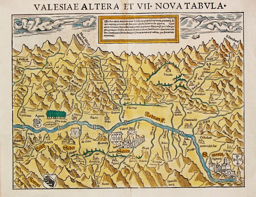
| current | 07:27, 7 July 2017 | | 1,104 × 851 (505 KB) | commons>Dbachmann | {{Information |Description ={{en|1=Oldest known map of the Valais.}} |Source =print by Sebastian Münster. Immediate source: [http://www.swaen.com/antique-map-of.php?id=8122 swaen.com] |Author =Johannes Schalbetter, Sebastian Münste... |
File usage
There are no pages that use this file.