File:Karte Hammaburg.png
Jump to navigation
Jump to search

Size of this preview: 608 × 600 pixels. Other resolutions: 243 × 240 pixels | 487 × 480 pixels | 779 × 768 pixels | 1,155 × 1,139 pixels.
Original file (1,155 × 1,139 pixels, file size: 406 KB, MIME type: image/png)
File history
Click on a date/time to view the file as it appeared at that time.
| Date/Time | Thumbnail | Dimensions | User | Comment | |
|---|---|---|---|---|---|
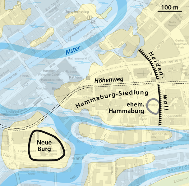
| current | 17:54, 20 February 2022 | | 1,155 × 1,139 (406 KB) | commons>NordNordWest | == {{int:filedesc}} == {{Information |Description= {{de|1=Lage von Hammaburg und Neuer Burg in Hamburg}} |Source={{Own using}} * [https://metaver.de/trefferanzeige?cmd=doShowDocument&docuuid=B6A59A2B-2D40-4676-9094-0EB73039ED34#detail_links_downloads GeoBasisKarten Hamburg (grau-blau)] by Freie und Hansestadt Hamburg, Landesbetrieb Geoinformation und Vermessung (LGV) |Date=2022-02-20 |Author={{U|NordNordWest}} |Permission= |other_versions= }} {{Kartenwerkstatt}} == {{int:license-header}} ==... |
File usage
There are no pages that use this file.