File:Karte Dresdner Heide.png
Jump to navigation
Jump to search

Size of this preview: 800 × 485 pixels. Other resolutions: 320 × 194 pixels | 640 × 388 pixels | 1,024 × 621 pixels | 1,535 × 931 pixels.
Original file (1,535 × 931 pixels, file size: 1.09 MB, MIME type: image/png)
File history
Click on a date/time to view the file as it appeared at that time.
| Date/Time | Thumbnail | Dimensions | User | Comment | |
|---|---|---|---|---|---|
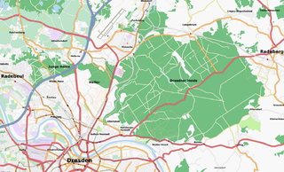
| current | 18:14, 9 January 2008 | | 1,535 × 931 (1.09 MB) | commons>Geo-Loge~commonswiki | {{Information |Description=Map of the Dresdner Heide and the northern parts of Dresden |Source=Map based on http://www.openstreetmap.org/ openstreetmap.org base layer, some location labeling by myself |Date=09 January 2008 |Author=[[User:Geo-Loge|Geo- |
File usage
There are no pages that use this file.