File:Italienska områden 1939.PNG
Jump to navigation
Jump to search
No higher resolution available.
Italienska_områden_1939.PNG (326 × 332 pixels, file size: 11 KB, MIME type: image/png)
File history
Click on a date/time to view the file as it appeared at that time.
| Date/Time | Thumbnail | Dimensions | User | Comment | |
|---|---|---|---|---|---|
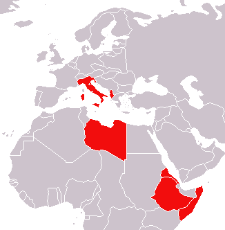
| current | 00:39, 1 February 2007 | | 326 × 332 (11 KB) | commons>Nicke L | {{Information |Description=Karta över Italien med kolonier och andra områden vid andra världskrigets utbrott i september 1939. |Source= *Efter GFDL-originalet på wikimedia commons: Image:World_1936_empires_colonies_territory.png *Originally from |
File usage
There are no pages that use this file.