File:Istres BA125 Landsat.png
Jump to navigation
Jump to search
No higher resolution available.
Istres_BA125_Landsat.png (301 × 301 pixels, file size: 188 KB, MIME type: image/png)
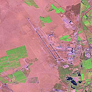
This image was generated by the NGA Raster Roam application, at coordinates 43°31'21"N 04°55'25"E.
This image is a work of the United States National Geospatial-Intelligence Agency or one of its predecessor agencies. As a work of the U.S. federal government, the image is in the public domain.
|
 |
File history
Click on a date/time to view the file as it appeared at that time.
| Date/Time | Thumbnail | Dimensions | User | Comment | |
|---|---|---|---|---|---|
| current | 16:00, 23 August 2009 | | 301 × 301 (188 KB) | commons>Bwmoll3 | Color enhanced |
File usage
There are no pages that use this file.