File:Islington UK local election 2010 map.svg
Jump to navigation
Jump to search

Size of this PNG preview of this SVG file: 461 × 599 pixels. Other resolutions: 185 × 240 pixels | 369 × 480 pixels | 591 × 768 pixels | 788 × 1,024 pixels | 1,576 × 2,048 pixels | 974 × 1,266 pixels.
Original file (SVG file, nominally 974 × 1,266 pixels, file size: 243 KB)
File history
Click on a date/time to view the file as it appeared at that time.
| Date/Time | Thumbnail | Dimensions | User | Comment | |
|---|---|---|---|---|---|
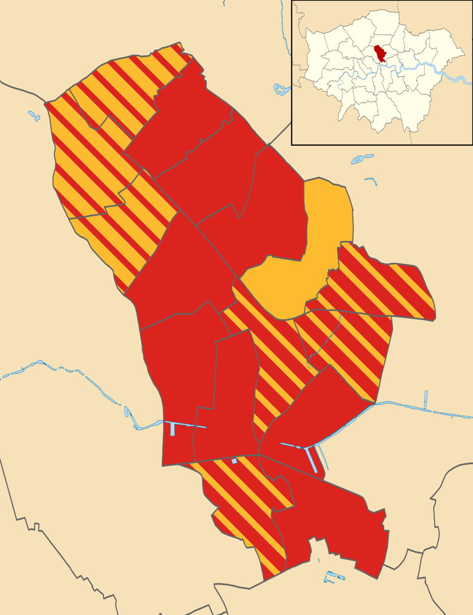
| current | 19:18, 8 August 2011 | | 974 × 1,266 (243 KB) | commons>Davewild | {{Information |Description=Map of the London Borough of Islington, UK showing the results of the 2010 local election. Colours: {{legend|#dc241f|Labour}} {{legend|#fdbb30|Liberal Democrat}} Striped wards have mixed representation. |Source=*[[:File:Isling |
File usage
There are no pages that use this file.