File:Isles of Scilly UK location map.svg
Jump to navigation
Jump to search

Size of this PNG preview of this SVG file: 677 × 600 pixels. Other resolutions: 271 × 240 pixels | 542 × 480 pixels | 867 × 768 pixels | 1,156 × 1,024 pixels | 2,312 × 2,048 pixels | 1,340 × 1,187 pixels.
Original file (SVG file, nominally 1,340 × 1,187 pixels, file size: 558 KB)
File history
Click on a date/time to view the file as it appeared at that time.
| Date/Time | Thumbnail | Dimensions | User | Comment | |
|---|---|---|---|---|---|
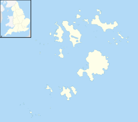
| current | 20:39, 26 September 2010 | | 1,340 × 1,187 (558 KB) | commons>Nilfanion | {{Information |Description=Blank map of the Isles of Scilly, UK with districts shown. Equirectangular map projection on WGS 84 datum, with N/S stretched 150% Geographic limits: *West: 6.45W *East: 6.23W *North: 49.99N *South: 49.86 |
File usage
There are no pages that use this file.