File:Isle of Man TT Course (OpenStreetMap).svg
Jump to navigation
Jump to search

Size of this PNG preview of this SVG file: 492 × 600 pixels. Other resolutions: 197 × 240 pixels | 394 × 480 pixels | 630 × 768 pixels | 840 × 1,024 pixels | 1,681 × 2,048 pixels | 549 × 669 pixels.
Original file (SVG file, nominally 549 × 669 pixels, file size: 1.04 MB)
.svg)
| Description |
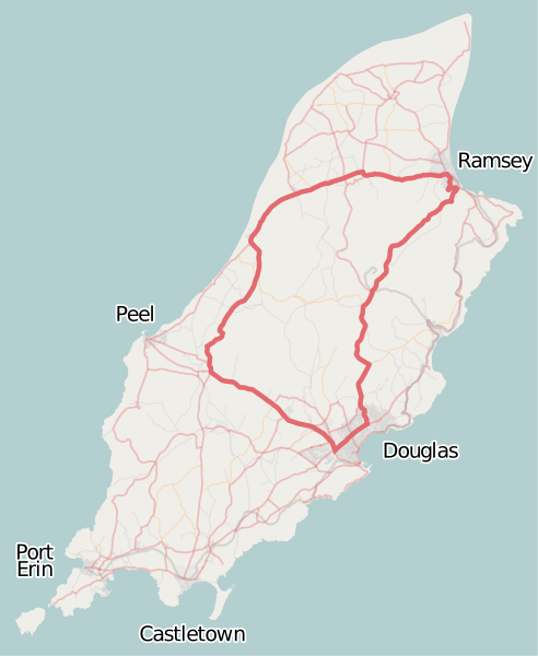
English:
Source: Open Street Map of the Isle of Man |
||||||||||||
| Date | |||||||||||||
| Source | OpenStreetMap | ||||||||||||
| Author | Dan Karran | ||||||||||||
| Permission (Reusing this file) |
This file is licensed under the Creative Commons Attribution-Share Alike 2.0 Generic license.
|
||||||||||||
| Other versions | Isle of Man TT Course (OpenStreetMap).png | ||||||||||||
| SVG development |
.png)
| Camera location | | View this and other nearby images on: OpenStreetMap |
|---|
.svg¶ms=054.229070_N_-004.445000_E_globe:Earth_type:camera__&language=en)
File history
Click on a date/time to view the file as it appeared at that time.
| Date/Time | Thumbnail | Dimensions | User | Comment | |
|---|---|---|---|---|---|
| current | 16:43, 16 September 2008 | | 549 × 669 (1.04 MB) | commons>Dankarran | {{openstreetmap|name=Isle of Man}} {{Information |Description={{en|1= Overview map of the Isle of Man from OpenStreetMap project with the Snaefell mountain course course highlighted. Source: [http://www.openstreetmap.org/index.html?lat=54.22907&l |
File usage
There are no pages that use this file.
.svg)