File:Ipswich UK ward map 2010 (blank).svg
Jump to navigation
Jump to search

Size of this PNG preview of this SVG file: 625 × 600 pixels. Other resolutions: 250 × 240 pixels | 500 × 480 pixels | 800 × 768 pixels | 1,067 × 1,024 pixels | 2,134 × 2,048 pixels | 1,319 × 1,266 pixels.
Original file (SVG file, nominally 1,319 × 1,266 pixels, file size: 217 KB)
.svg)
File history
Click on a date/time to view the file as it appeared at that time.
| Date/Time | Thumbnail | Dimensions | User | Comment | |
|---|---|---|---|---|---|
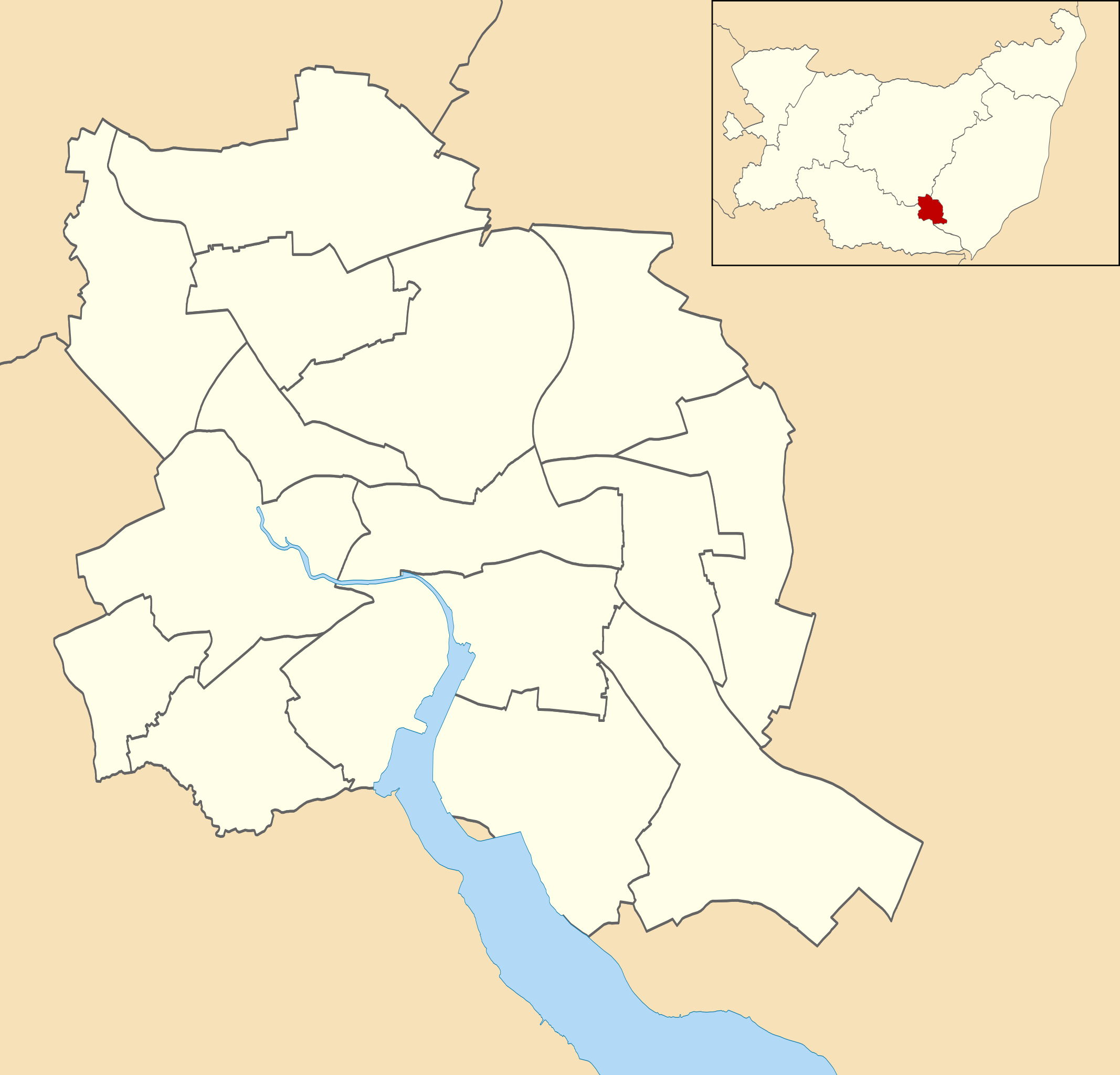
| current | 23:55, 24 April 2011 | | 1,319 × 1,266 (217 KB) | commons>Nilfanion | {{Information |Description=Map of Ipswich, Suffolk, UK with electoral wards shown. Equirectangular map projection on WGS 84 datum, with N/S stretched 160% Geographic limits: *West: 1.10E *East: 1.25E *North: 52.10N *South: 52.01N |Source=[[w:Ordnance Su |
File usage
There are no pages that use this file.
.svg)