File:ITV Tyne Tees 2015 locator map.svg
Jump to navigation
Jump to search

Size of this PNG preview of this SVG file: 413 × 600 pixels. Other resolutions: 165 × 240 pixels | 330 × 480 pixels | 529 × 768 pixels | 705 × 1,024 pixels | 1,410 × 2,048 pixels | 685 × 995 pixels.
Original file (SVG file, nominally 685 × 995 pixels, file size: 367 KB)
Summary
| Description |
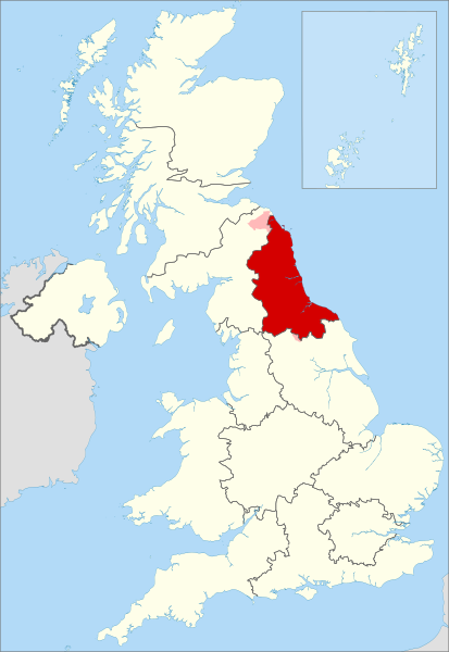
English: Map highlighting the ITV Tyne Tees region amongst all other UK ITV franchise regions in 2015 |
| Date | |
| Source |
This file was derived from: United Kingdom location map.svg:  |
| Author |
|
References
- "ITV regions" archive copy at the Wayback Machine, ITV media, accessed 3 February 2019
Licensing
This file is licensed under the Creative Commons Attribution-Share Alike 4.0 International license.
Attribution: Dr Greg and NordNordWest
- You are free:
- to share – to copy, distribute and transmit the work
- to remix – to adapt the work
- Under the following conditions:
- attribution – You must give appropriate credit, provide a link to the license, and indicate if changes were made. You may do so in any reasonable manner, but not in any way that suggests the licensor endorses you or your use.
- share alike – If you remix, transform, or build upon the material, you must distribute your contributions under the same or compatible license as the original.
File history
Click on a date/time to view the file as it appeared at that time.
| Date/Time | Thumbnail | Dimensions | User | Comment | |
|---|---|---|---|---|---|
| current | 19:44, 22 February 2019 | | 685 × 995 (367 KB) | commons>Dr Greg | Add overlap with adjacent regions |
File usage
There are no pages that use this file.