File:IBRA 6.1 Great Sandy Desert.png
Jump to navigation
Jump to search

Size of this preview: 764 × 599 pixels. Other resolutions: 306 × 240 pixels | 612 × 480 pixels | 979 × 768 pixels | 1,257 × 986 pixels.
Original file (1,257 × 986 pixels, file size: 83 KB, MIME type: image/png)

|
File:IBRA 6.1 Great Sandy Desert.svg is a vector version of this file. It should be used in place of this PNG file when not inferior.
File:IBRA 6.1 Great Sandy Desert.png → File:IBRA 6.1 Great Sandy Desert.svg
For more information, see Help:SVG. |
 |
Summary
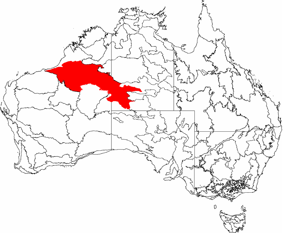
| Description | This is a map of the Interim Biogeographic Regionalisation of Australia (IBRA), with state boundaries overlaid. The Great Sandy Desert region is shown in red. | ||||||||
| Date | |||||||||
| Source | It was created by the uploader. | ||||||||
| Author | Hesperian | ||||||||
| Permission (Reusing this file) |
I, the copyright holder of this work, hereby publish it under the following licenses:
This file is licensed under the Creative Commons Attribution-Share Alike 2.5 Generic, 2.0 Generic and 1.0 Generic license.
You may select the license of your choice. |

File history
Click on a date/time to view the file as it appeared at that time.
| Date/Time | Thumbnail | Dimensions | User | Comment | |
|---|---|---|---|---|---|
| current | 04:51, 3 March 2007 | | 1,257 × 986 (83 KB) | commons>Hesperian |
File usage
There are no pages that use this file.