File:HrvatskaKostjanica-castle2008.JPG
Original file (3,008 × 2,000 pixels, file size: 2.2 MB, MIME type: image/jpeg)
This file is from a shared repository and may be used by other projects. The description on its file description page there is shown below.
DescriptionHrvatskaKostjanica-castle2008.JPG |
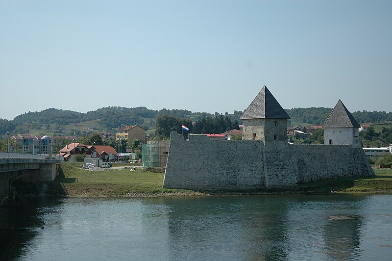
Polski: fortyfikacje zamku w Hrvatskiej Kostajnicy English: Hrvatska Kostajnica castle |
||
Date | |||
Source | Own work | ||
Author | Jakub Sochacki | ||
Permission (Reusing this file) |
This file is licensed under the Creative Commons Attribution-Share Alike 3.0 Unported license.
|
Camera location | 45° 13′ 20.88″ N, 16° 32′ 55.1″ E | View this and other nearby images on: OpenStreetMap | 45.222467; 16.548639 |
---|
Items portrayed in this file
depicts
27 August 2008
45°13'20.881"N, 16°32'55.100"E
File history
Click on a date/time to view the file as it appeared at that time.
Date/Time | Thumbnail | Dimensions | User | Comment | |
---|---|---|---|---|---|
current | 19:34, 16 October 2008 | 3,008 × 2,000 (2.2 MB) | commons>Julo | small correction |
File usage
There are no pages that use this file.
Metadata
This file contains additional information, probably added from the digital camera or scanner used to create or digitize it.
If the file has been modified from its original state, some details may not fully reflect the modified file.
Camera manufacturer | NIKON CORPORATION |
---|---|
Camera model | NIKON D70 |
Exposure time | 1/1,600 sec (0.000625) |
F Number | f/4.5 |
Date and time of data generation | 12:19, 27 August 2008 |
Lens focal length | 44 mm |
Latitude | 45° 13′ 20.88″ N |
Longitude | 16° 32′ 55.1″ E |
Altitude | 114.2 meters above sea level |
City shown | Dolini?a Brdo |
Orientation | Normal |
Horizontal resolution | 300 dpi |
Vertical resolution | 300 dpi |
Software used | Ver.2.00 |
File change date and time | 12:19, 27 August 2008 |
Y and C positioning | Co-sited |
Exposure Program | Aperture priority |
Exif version | 2.21 |
Date and time of digitizing | 12:19, 27 August 2008 |
Meaning of each component |
|
Image compression mode | 4 |
APEX exposure bias | 0 |
Maximum land aperture | 4.2 APEX (f/4.29) |
Metering mode | Pattern |
Light source | Unknown |
Flash | Flash did not fire |
DateTime subseconds | 80 |
DateTimeOriginal subseconds | 80 |
DateTimeDigitized subseconds | 80 |
Supported Flashpix version | 1 |
Color space | sRGB |
Sensing method | One-chip color area sensor |
File source | Digital still camera |
Scene type | A directly photographed image |
Custom image processing | Normal process |
Exposure mode | Auto exposure |
White balance | Auto white balance |
Digital zoom ratio | 1 |
Focal length in 35 mm film | 66 mm |
Scene capture type | Standard |
Scene control | None |
Contrast | Normal |
Saturation | Normal |
Sharpness | Normal |
Subject distance range | Unknown |
GPS time (atomic clock) | 10:19 |
Satellites used for measurement | 0 |
Geodetic survey data used | WGS-84 |
GPS date | 27 August 2008 |
GPS tag version | 2.2.0.0 |
IIM version | 4 |
Province or state shown | Republika Srpska |
Country shown | Bosnia and Herzegovina |