File:Hottah Lake, Northwest Territories map 01.jpg
Jump to navigation
Jump to search

Size of this preview: 800 × 562 pixels. Other resolutions: 320 × 225 pixels | 640 × 450 pixels | 1,008 × 708 pixels.
Original file (1,008 × 708 pixels, file size: 399 KB, MIME type: image/jpeg)
File history
Click on a date/time to view the file as it appeared at that time.
| Date/Time | Thumbnail | Dimensions | User | Comment | |
|---|---|---|---|---|---|
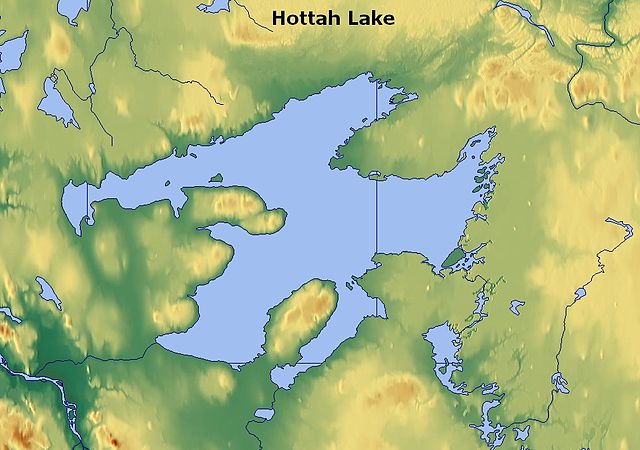
| current | 22:59, 31 March 2011 | | 1,008 × 708 (399 KB) | commons>Guerillero | {{convert to SVG|map}} {{Information |Description=Hottah Lake, Northwest Territories, Canada - map |Source=http://www.maps-for-free.com/ |Date=2011-03-30 |Author=Modified by Anna Frodesiak |Permission=http://www.maps-for-free.com/html/about.html |other_ve |
File usage
There are no pages that use this file.