File:Hornibrook Highway Bridge Southern Portal 02.jpg
Jump to navigation
Jump to search
Size of this preview: 800 × 600 pixels. Other resolutions: 320 × 240 pixels | 640 × 480 pixels | 1,024 × 768 pixels | 1,280 × 960 pixels | 2,160 × 1,620 pixels.
Original file (2,160 × 1,620 pixels, file size: 524 KB, MIME type: image/jpeg)
Summary
| Description |
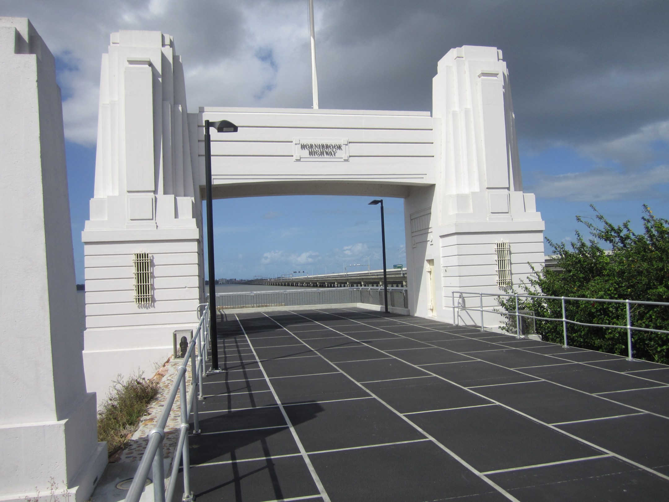
English: Southern portal of the former Hornibrook Highway Bridge. At one point, this was a tollgate for cars crossing the bridge. The portals for the bridge are listed on the Queensland Heritage Register. |
| Date | |
| Source | Own work |
| Author | Craig Franklin |
| Camera location | | View this and other nearby images on: OpenStreetMap |
|---|
Licensing
This file is licensed under the Creative Commons Attribution-Share Alike 3.0 Australia license.
- You are free:
- to share – to copy, distribute and transmit the work
- to remix – to adapt the work
- Under the following conditions:
- attribution – You must give appropriate credit, provide a link to the license, and indicate if changes were made. You may do so in any reasonable manner, but not in any way that suggests the licensor endorses you or your use.
- share alike – If you remix, transform, or build upon the material, you must distribute your contributions under the same or compatible license as the original.

File history
Click on a date/time to view the file as it appeared at that time.
| Date/Time | Thumbnail | Dimensions | User | Comment | |
|---|---|---|---|---|---|
| current | 06:55, 31 December 2012 | | 2,160 × 1,620 (524 KB) | commons>Lankiveil | User created page with UploadWizard |
File usage
There are no pages that use this file.